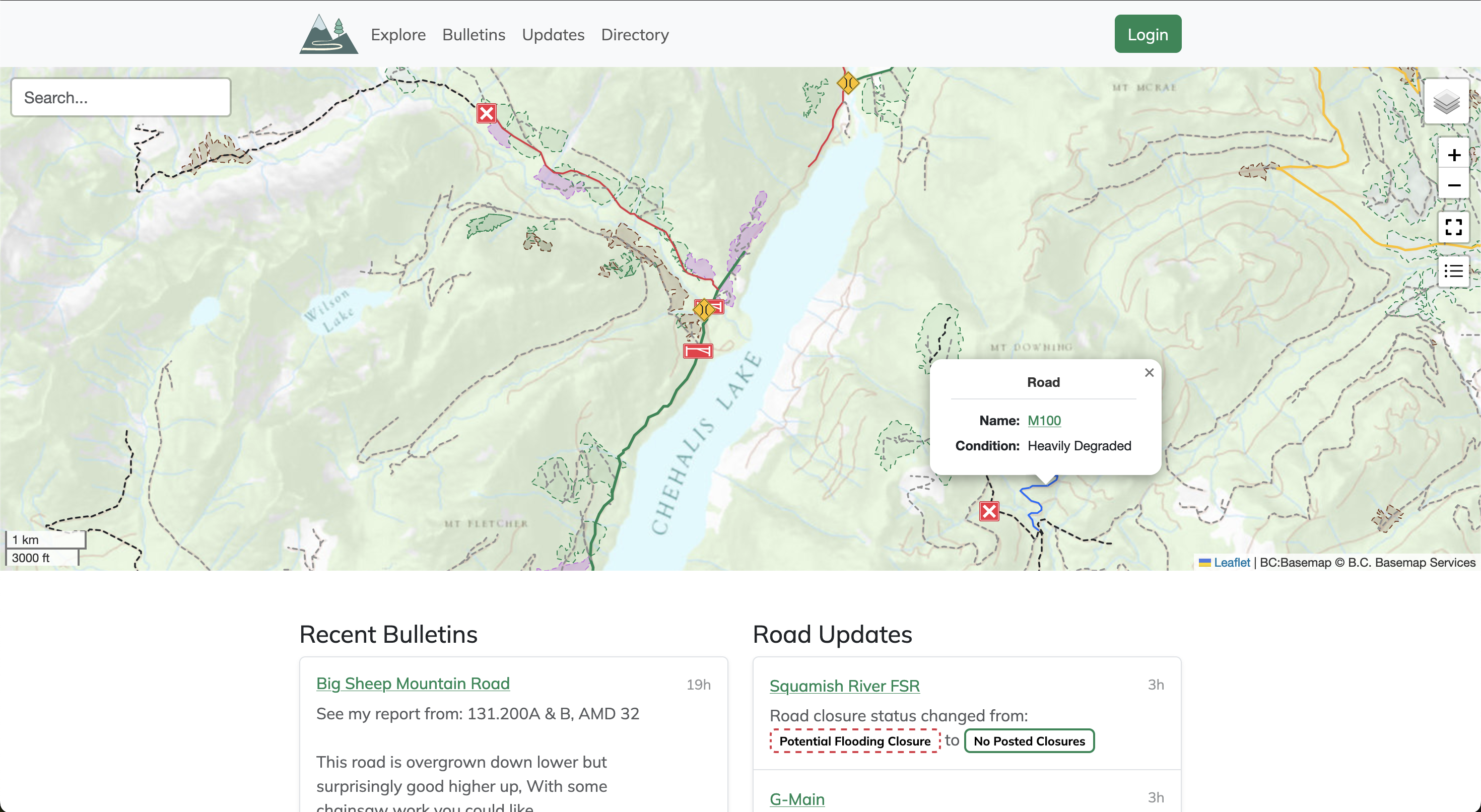
Service roads are an integral part of accessing the wilderness, but they're constantly changing over time. Use the Service Road Atlas to find the latest community driven updates on the roads you wish to access.
Toward Wayfinding Infrastructure for the Living Web · Atlas Research Group
Our world is getting crazier by the day. Our old maps and compasses weren’t made for this complexity. While new tools may open up amazing possibilities, they also make it easier to lose ourselves – especially when they don’t belong to us, and make us vulnerable to other people’s hidden choices and unsavory intentions about what is worth attending to.

Google Maps
Find local businesses, view maps and get driving directions in Google Maps.
Google Maps
Find local businesses, view maps and get driving directions in Google Maps.
Google Maps
Find local businesses, view maps and get driving directions in Google Maps.
Google Maps
Find local businesses, view maps and get driving directions in Google Maps.
Google Maps
Find local businesses, view maps and get driving directions in Google Maps.
Google Maps
Find local businesses, view maps and get driving directions in Google Maps.
Google Maps
Find local businesses, view maps and get driving directions in Google Maps.
Google Maps
Find local businesses, view maps and get driving directions in Google Maps.
Google Maps
Find local businesses, view maps and get driving directions in Google Maps.
Google Maps
Find local businesses, view maps and get driving directions in Google Maps.
Google Maps
Find local businesses, view maps and get driving directions in Google Maps.
Intranational International Boulevard: A Street's Atlas - Oakland - LocalWiki
The Intranational International Boulevard: A Street's Atlas is a cool mapping project done by students in the UC Berkeley’s Cartography and GIS Education (CAGE) Lab. It maps International Blvd. in a variety of hyper-local ways.
Urban congestion relief experiments through routing-app interventions
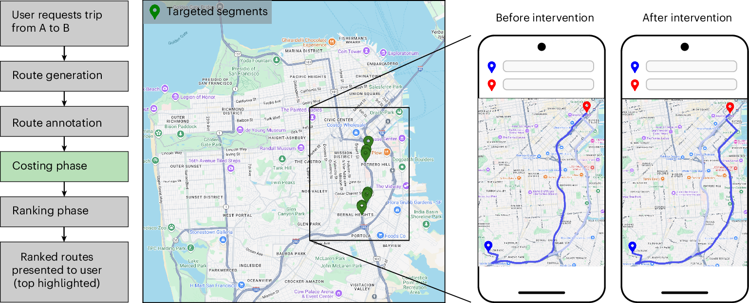
Traffic congestion remains a persistent challenge for urban mobility, increasing travel delays and elevating CO2 emissions. The widespread use of smartphones and GPS navigation creates new opportunities to mitigate congestion through routing optimizations in apps, yet real-world evidence for the effectiveness of such interventions is limited. Here we report large-scale empirical experiments evaluating routing-based traffic interventions on ~100 highly congested road segments across 10 major US cities. By rerouting a small share of Google Maps trips from targeted congested highway and arterial segments to less congested alternatives of equivalent road-classes with comparable travel times, we observe a city-average 2% increase in vehicle speeds on the intervened segments, along with improved travel times 0.7% and potential annual reductions exceeding 1,000 tons of CO2-equivalent emissions per city in the majority of studied locations. These findings provide evidence that marginal routing interventions involving a small proportion of vehicles can measurably enhance overall road network efficiency, offering a practical pathway to easing congestion and advancing urban sustainability.
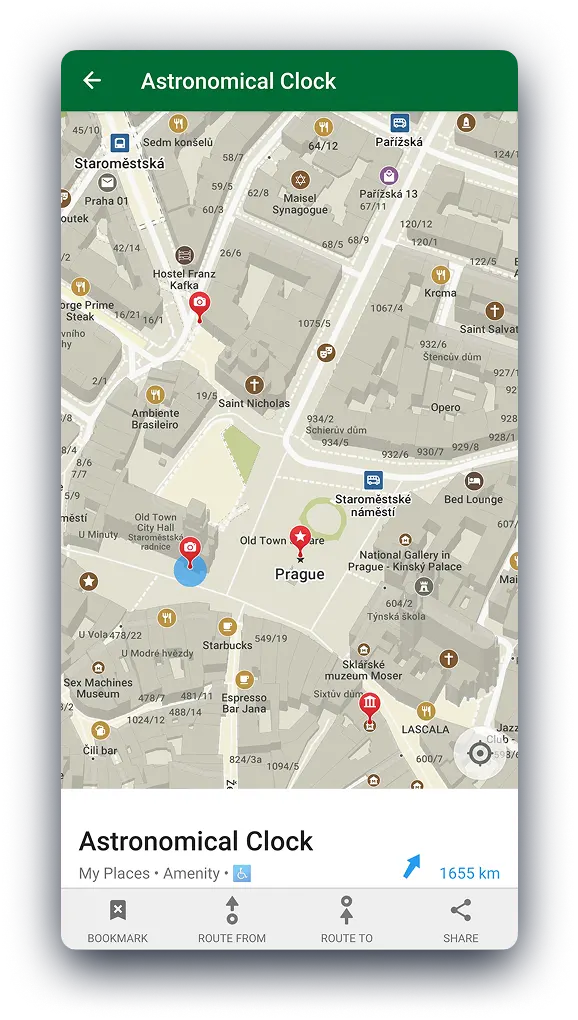
Hike, Bike, Drive Offline – Navigate with Privacy
Discover more of your journey - Powered by the community