
How Media – Namely News, Ads and Social Posts – Can Shape an Election
How Media – Namely News, Ads and Social Posts – Can Shape an Election
Nowcast — Election Maps UK

Verifying information about elections
We can help you check the facts behind election information you receive.
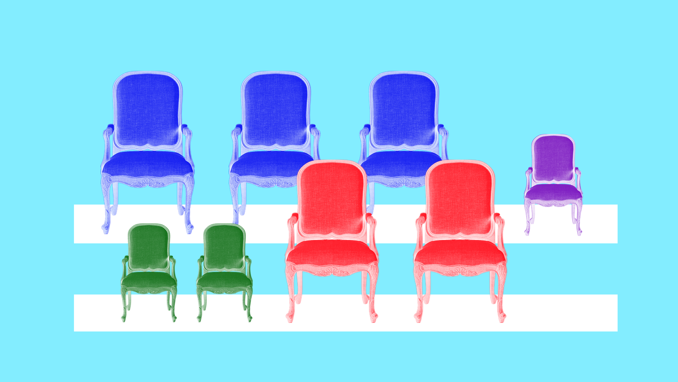
Reimagining American Elections to Combat Gerrymandering
Read the latest by Democracy Docket.
Election Maps UK (@electionmaps.uk)
Current Nowcast Projection for Clacton: ➡️ RFM: 48.5% (+2.3) 🌳 CON: 19.2% (-8.7) ◼️ RES: 12.0% (New) 🌍 GRN: 8.2% (+4.0) 🌹 LAB: 6.2% (-10.0) 🔶 LDM: 4.6% (+0.2) electionmaps.uk/nowcast

Google Maps’s Moat
Over the past year, we’ve been comparing Google Maps and Apple Maps in New York, San Francisco, and London—but some of the biggest differences are outside of large cities.
News Deserts Leave Voters Vulnerable to Election Misinformation
The disappearance of local news outlets means Americans across the country turn to less reliable online sources for election information.

Commentary: The blueprint for fighting Trump's attempt to sabotage the election, drawn up in Minnesota • Minnesota Reformer
The evidence is all around us, but you have to connect dots and see the full picture.

An Overlooked — and Increasingly Important — Clue to How People Vote
Most election post-mortems neglect a key determinant of how people vote — where they get their news.

Hundreds of hyperpartisan sites are masquerading as local news. This map shows if there’s one near you.
We found that while the (few) left-leaning sites prioritize statewide reporting, right-leaning sites are more focused on local reporting, indicating the potential for these sites to exacerbate polarization in local communities.

Live Redistricting Tracker: All the Republican Gerrymanders — and Democrats’ Counter-Moves
Facing increasingly dire polls, President Donald Trump is determined to prevent Democrats from reclaiming the U.S. House in the 2026 midterm elections. So he’s pressuring Republican-controlled states to give the GOP an unfair edge by gerrymandering their congressional maps. Texas, North Carolina, and Missouri, have already done so.

How One Nation won in Farrer: the maps that show the big swings across the seat
The swing played out throughout the electorate – even in places like Albury – although the gains were largest in rural areas

Stop and Consider:Our campaign
During a federal election there is a large amount of information being distributed, much of it online, which is seeking to influence your vote. Some of this may be disinformation, or false information.

Analysis | An amazing map of the Koch brothers massive political network
Travel the maze of money the Koch Brothers spent on the 2012 election.

On power, aesthetics, materiality and change in data visualization
Notes from the Information+ Conference at MIT/Northeastern University, Boston.