Exploring the social life of urban spaces through AI
We analyze changes in pedestrian behavior over a 30-y period in four urban public spaces located in New York, Boston, and Philadelphia. Building on William Whyte’s observational work, which involved manual video analysis of pedestrian behaviors, we employ computer vision and deep learning techniques to examine video footage from 1979–80 and 2008–10. Our analysis measures changes in walking speed, lingering behavior, group sizes, and group formation. We find that the average walking speed has increased by 15%, while the time spent lingering in these spaces has halved across all locations. Although the percentage of pedestrians walking alone remained relatively stable (from 67% to 68%), the frequency of group encounters declined, indicating fewer interactions in public spaces. This shift suggests that urban residents are using streets as thoroughfares rather than as social spaces, which has important implications for the role of public spaces in fostering social engagement.

Taking imagery of bike lanes in Toronto: 60,000 photos later…
Imagery Update After a summer and fall of taking 360 imagery of bike lanes, I finished capturing street-level imagery of all the protected bike lanes in the City’s dataset. The last segment on November 8 was the final part of the new Harbord St bike lanes E of Grace St. So far, I’ve captured over…

Far Right Groups Targeting Pride Month - Google My Maps
Tracking the far right anti-LGBTIQ activists, Christian Nationalists, White Supremacists, and violent extremist groups targeting LGBTIQ events during Pride Month. Incident Report: https://tinyurl.com/PrideIncident Map Information: https://tinyurl.com/MappingPride #DefendPride Resources: https://itsgoingdown.org/defendpride/ Project of Radical Reports: https://www.radicalreports.org Contact: radicalreportsnewsletter@gmail.com
Experienced Segregation
We estimate a measure of segregation, experienced isolation, that captures individuals’ exposure to diverse others in the places they visit over the course of their days. Using Global Positioning System (GPS) data collected from smartphones, we measure experienced isolation by race. We find that the isolation individuals experience is substantially lower than standard residential isolation measures would suggest, but that experienced and residential isolation are highly correlated across cities. Experienced isolation is lower relative to residential isolation in denser, wealthier, more educated cities with high levels of public transit use, and is also negatively correlated with income mobility.

“We’ve Been Told There’s Another Plane in the Air and It’s Heading Here”
A 9/11 remembrance and thank you.

thundersnap 0.01: an undo button for everything
Happy July 4th! For those of us around the world contemplating independence, it's a good day to think about how we came to rely on expensiv...
A Letter on Justice and Open Debate
July 7, 2020 The below letter will be appearing in the Letters section of the magazine’s October issue. We welcome responses at letters@harpers.org Our cultural institutions are facing a moment of trial. Powerful protests for racial and social justice are leading to overdue demands for police reform, along with wider calls for greater equality and […]

TransformTO Tracking — Travel Modes by Ward
Track Toronto transportation mode share by ward, trip distance and year from the Transportation Tomorrow Survey, and progress toward the TransformTO 2030 goal of 75% of work and school trips by walking, cycling or transit.
Things You Might've Missed: March 2026 - Valerie Rayne Writes
You've seen the image, now get the details!
Meet the Press – October 11, 2026
Abdul El-Sayed (D-Mich.), Sen. Thom Tillis (R-N.C.), Michael Lewis, Tom Costello, Stephen Hayes, Jeh Johnson and Amna Nawaz

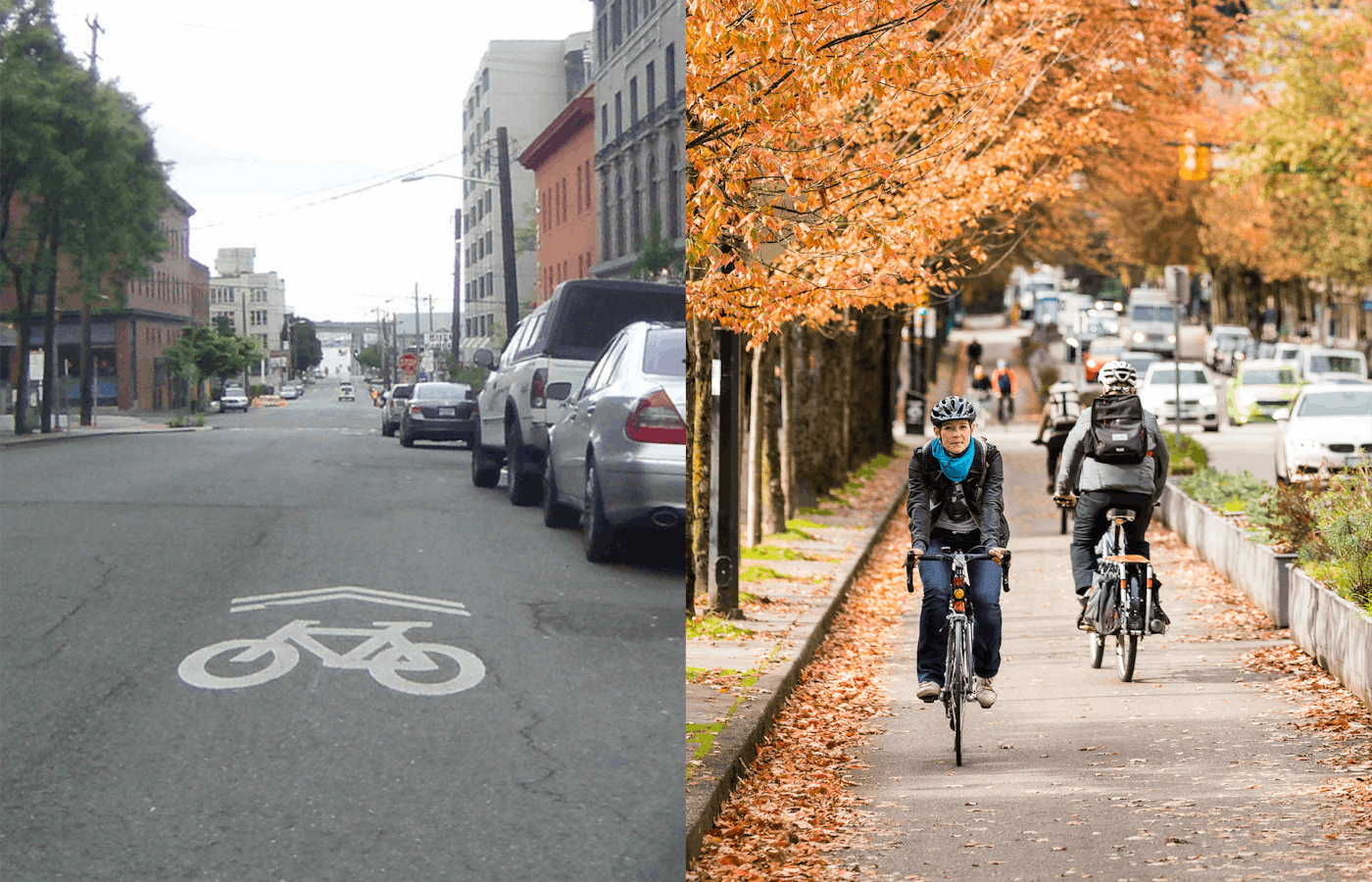
We Were Wrong About Sharrows | PeopleForBikes
It was the late 1990s and I thought we were so clever. We had just convinced the San Francisco Department of Parking and Traffic to incorporate an innovative new design into its bike plan, a bold statement conveying “bikes belong” right there in the middle of the street. I had first seen a shared-use marking, or “sharrow” — a white bicycle painted directly on asphalt — in photos of Paris and Chicago, put there to help bicyclists get through intersections by indicating their path of travel. In 1993, James McKay, a bike planner in Denver, used it on a trial basis to emphasize a bicyclist’s right to ride in the middle of the lane.
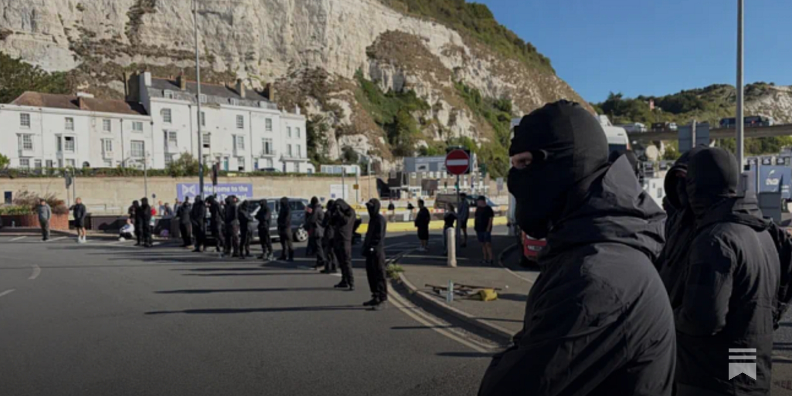
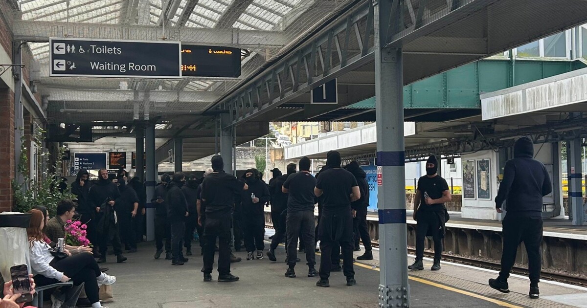
Daniel Trilling | Masks Off
The emergence of Patriot Platform is not necessarily a sign that the far right is getting its way. Radical right-wing...
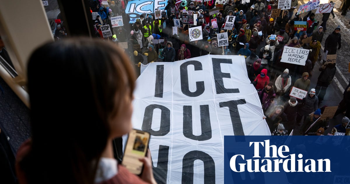
Revealed: How undercover agents spied on anti-ICE protesters in Minnesota
DHS officers posed as concerned citizens, joining Signal groups and taking photos of community meetings