
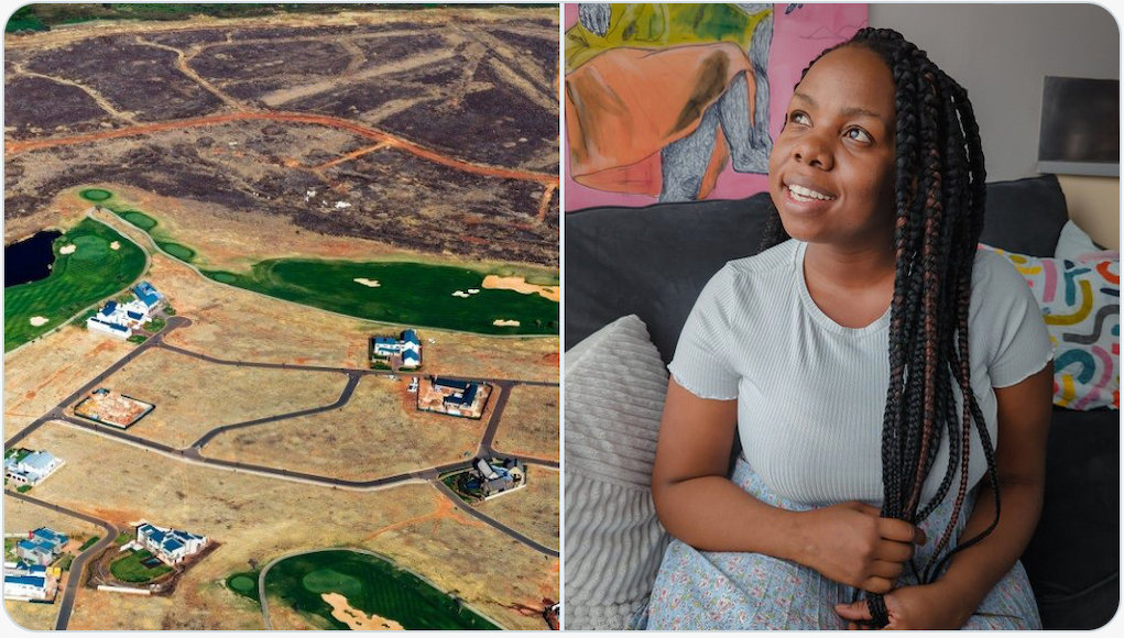
Analyzing the impacts of South African apartheid using computer vision techniques and satellite imagery.
sefalab/Spatial_Project
Using satellite images and computer vision to study the evolution and effects of spatial apartheid in South Africa.
How satellite images and AI could help fight spatial apartheid in South Africa
Townships get little by way of public resources compared with rich suburbs. By mapping the problem, researchers like Raesetje Sefala hope to reverse it.
South Africa’s private surveillance machine is fueling a digital apartheid
As firms have dumped their AI technologies into the country, it’s created a blueprint for how to surveil citizens and serves as a warning to the world.

A Beginner’s Guide to Seeing More With Satellite Imagery
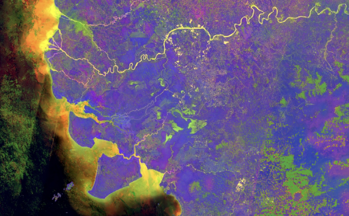
Multispectral satellite images can reveal useful information about the world, such as mining activity and changes in vegetation.
UN General Assembly endorses a new world map that shows more accurately Africa’s size
The United Nations General Assembly has voted to endorse a new world map that shows Africa's large size more accurately.
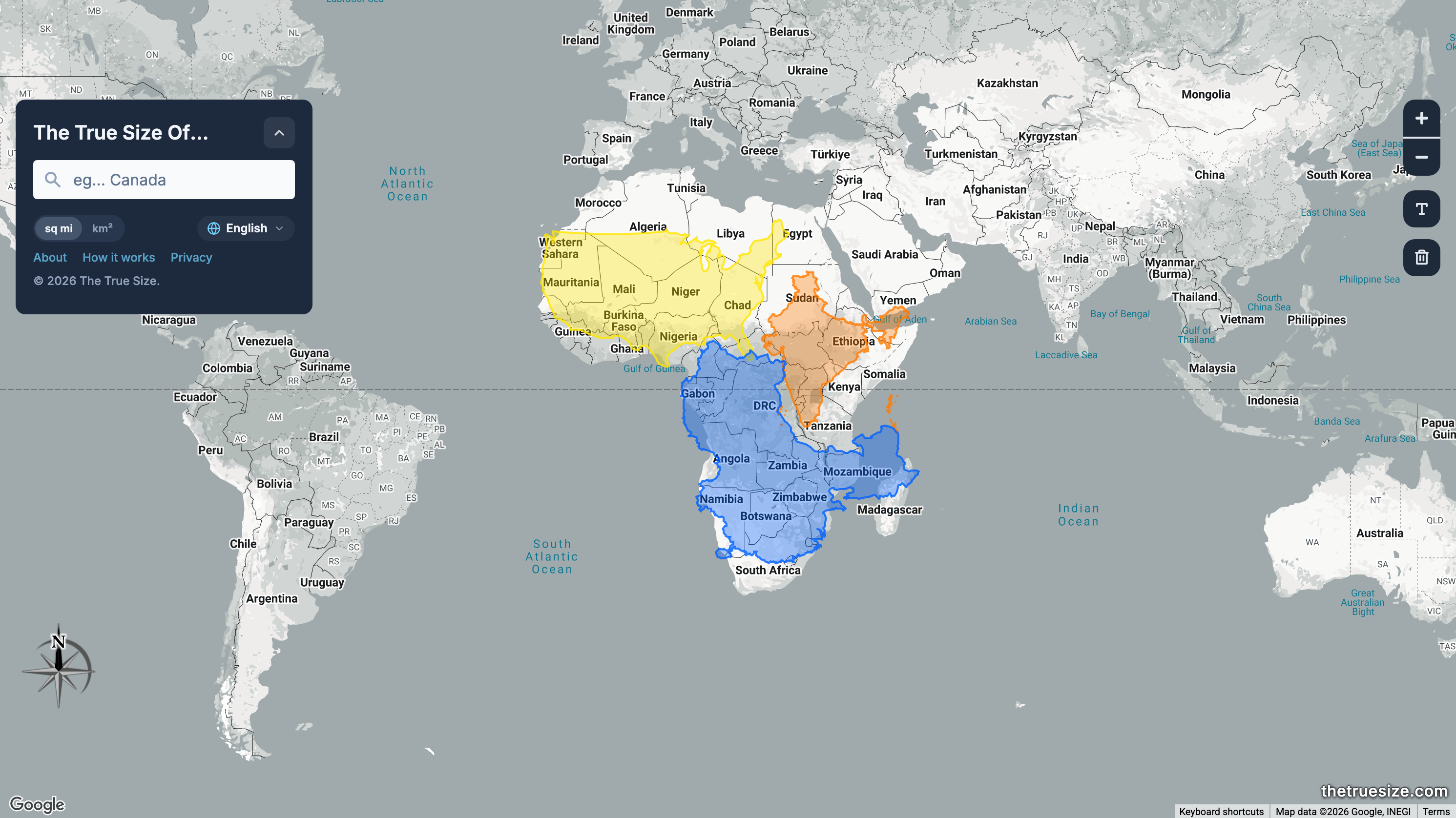
Compare Countries, States, Provinces, and Regions with This Simple Tool
Drag, drop and rotate countries, states, provinces, and regions around the map to compare their relative size. Is Greenland really as big as all of Africa? You may be surprised at what you find! A great tool for educators.
African Nations Turn to AI, Drones to Secure Borders - Africa Defense Forum
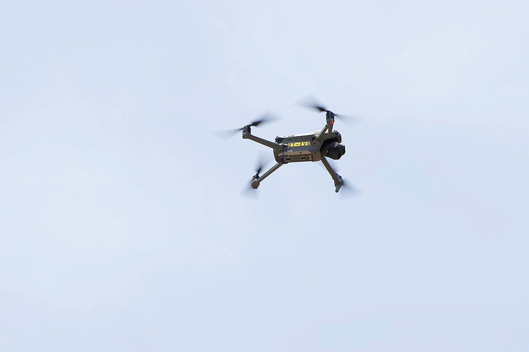
South Africa has joined Ethiopia, Kenya, Sudan and Tunisia in deploying advanced technology, such as artificial intelligence and drones, to enhance border security. South Africa’s technology upgrade includes four quadcopter drones to monitor locations known for illegal crossings. The drones can operate around the clock and use infrared cameras to track people crossing at night.
Dividing Lines — Real Life
Mapping platforms like Google Earth have the legacies of colonialism programmed into them

“Colonial AI”: African Countries Seek Tech Sovereignty But Fear a New Digital Colonialism
Seydina Moussa Ndiaye is a member of the Global Partnership on Artificial Intelligence, working on a strategy with the African Union to address the risks and benefits of AI for the continent. African countries face the threat of “colonial AI,” says Ndiaye. “When we talk about colonialism historically, that involves the control of resources, the control of knowledge and the control of terms of exchange, and we see that in Africa when we talk about AI.”
Our image of Africa is hopelessly obsolete | Ian Birrell
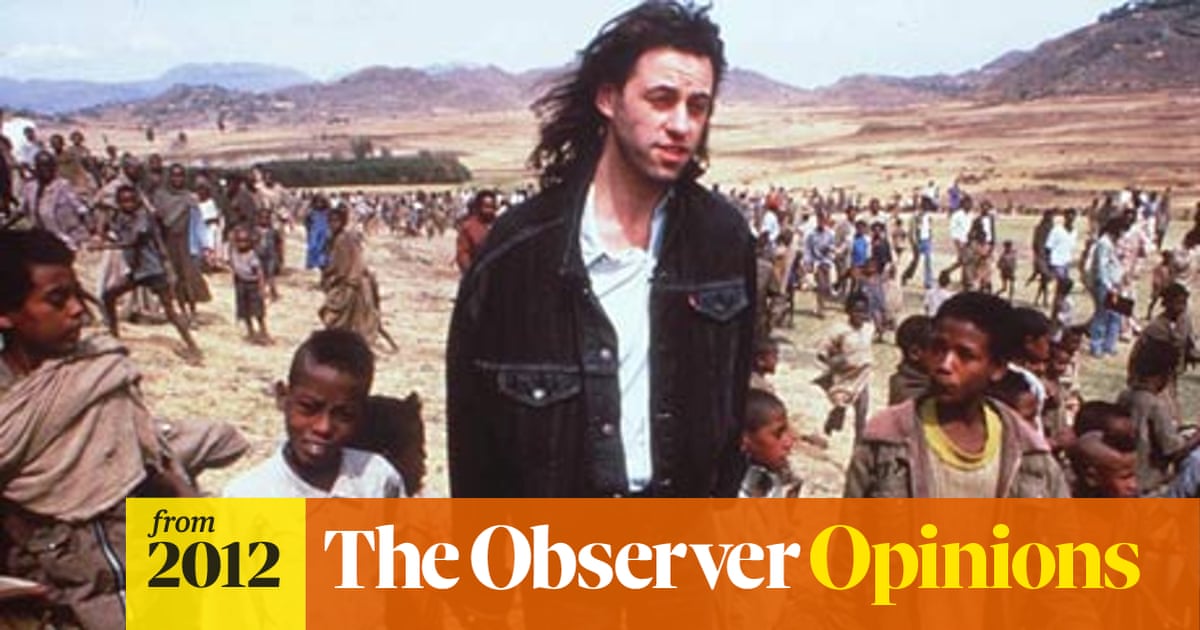
Ian Birrell: The huge advances the continent has made in recent years have yet to be acknowledged by the west
The Huge, Unseen Operation Behind the Accuracy of Google Maps
The Google Maps team refines their maps and keeps them up to date with a combination of computer vision algorithms and meticulous manual labor

Na crise atual, Kwame Nkrumah voltou a ser leitura obrigatória
O líder afromarxista Kwame Nkrumah nasceu neste dia em 1909. Ele dissecou os meandros do avanço imperialista na África do século XX em sua tese contra o neocolonialismo. Com a nova ofensiva estadunidense no Sul Global, reler e se armar com os argumentos de seu livro Neocolonialismo: estágio superior do imperialismo se torna uma tarefa incontornável dos dois lados do Atlântico.

State regions
Information about Victoria's State regions, including results, historical pattern and maps.

The Nation on No Map: Black Anarchism and Abolition
The Nation on No Map examines state power, abolition, a…

US government map of Africa mislabels every country at global conference
State department ‘takes full responsibility’ for erroneous, widely shared chart displayed at Aids conference in Brazil