

Grids, and gridded biodiversity data such as regional or country-level atlases, play a prominent role in ecology, particularly in the study of spatial patterns of species occupancy, geographic ranges, biodiversity, and their drivers and temporal dynamics. However, managing, exploring, and analyzing data in grids comes with problems. Here, we review the problems with gridded data, and the existing solutions. We focus on grid-specific problems of sampling (e.g. varying sampling method and effort in space and time, imperfect detection), geometry (e.g. varying grid cell area and shape, positional errors), and scale (e.g. spatial grain and temporal extent). A first group of solutions can be implemented prior to gridding of the data. This includes the selection of an appropriate geographic projection, grid grain, and grid cell shape. The second type of solution involves the manipulation and processing of the gridded data. Examples include aggregating cells to coarser grains or removing cells that fail to meet certain quality criteria. The third type of solution is implemented during the analysis of the data. The most important is the quantification of the problem for use in statistical models or machine learning algorithms as a covariate. We hope to provide guidance particularly to early-career ecologists who may otherwise struggle to make sense of the various solutions scattered through the literature.
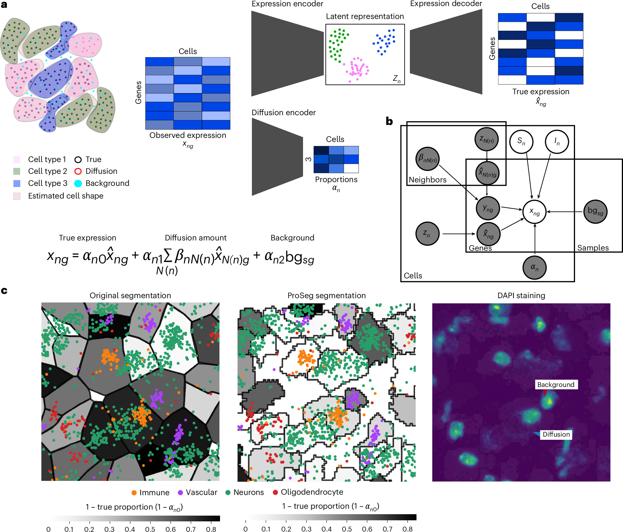
ResolVI: addressing noise and bias in spatial transcriptomics
Technologies for estimating RNA expression at high throughput, in intact tissue slices and with high spatial resolution (spatial transcriptomics) shed new light on how cells communicate and tissues function. A fundamental step in analyzing data generated by subcellular resolution spatial transcriptomics technologies is quantification, namely, segmenting the plane into regions, each approximating a cell, and then collating the molecules inside each region to estimate the cellular expression profile. Despite many advances in this area, a persistent problem is that of the incorrect assignment of molecules to cells, which limits many current applications to the level of a priori-defined cell subsets and complicates the discovery of novel cell states. Here we develop resolVI, a model that operates downstream of any segmentation algorithm to generate a probabilistic representation, correcting for the misassignment of molecules, as well as for batch effects and other nuisance factors. We demonstrate that resolVI improves our ability to distinguish between cell states, identify subtle expression changes in space and perform integrated analysis across datasets. ResolVI is available as open source software within scvi-tools.
Observ.ing - Observe nature. Own your data.
A decentralized platform for biodiversity observations, built on the AT Protocol.
GBIF
Global Biodiversity Information Facility. Free and Open Access to Biodiversity Data.
Spatial Data Science
Data science is concerned with finding answers to questions on the basis of available data, and communicating that effort. Besides showing the results, this communication involves sharing the data used, but also exposing the path that led to the answers in a comprehensive and reproducible way. It also acknowledges the fact that available data may not be sufficient to answer questions, and that any answers are conditional on the data collection or sampling protocols employed.
Towards a new spatial representation of bone remodeling
Irregular bone remodeling is associated with a number of bone diseases such as osteoporosis and multiple myeloma. Computational and mathematical modeling can aid in therapy and treatment as well as understanding fundamental biology. Different approaches to modeling give insight into different aspects of a phenomena so it is useful to have an arsenal of various computational and mathematical models. Here we develop a mathematical representation of bone remodeling that can effectively describe many aspects of the complicated geometries and spatial behavior observed. There is a sharp interface between bone and marrow regions. Also the surface of bone moves in and out, i.e. in the normal direction, due to remodeling. Based on these observations we employ the use of a level-set function to represent the spatial behavior of remodeling. We elaborate on a temporal model for osteoclast and osteoblast population dynamics to determine the change in bone mass which influences how the interface between bone and marrow changes. We exhibit simulations based on our computational model that show the motion of the interface between bone and marrow as a consequence of bone remodeling. The simulations show that it is possible to capture spatial behavior of bone remodeling in complicated geometries as they occur in vitro and in vivo. By employing the level set approach it is possible to develop computational and mathematical representations of the spatialbehavior of bone remodeling. By including in this formalism further details, such as more complex cytokine interactions and accurate parameter values, it is possible to obtain simulations of phenomena related to bone remodeling with spatial behavior much as in vitro and in vivo. This makes it possible to perform in silica experiments more closely resembling experimental observations.
Measuring biodiversity: research into approaches
This report considers methodologies for measuring biodiversity at site-level for use in Scotland.

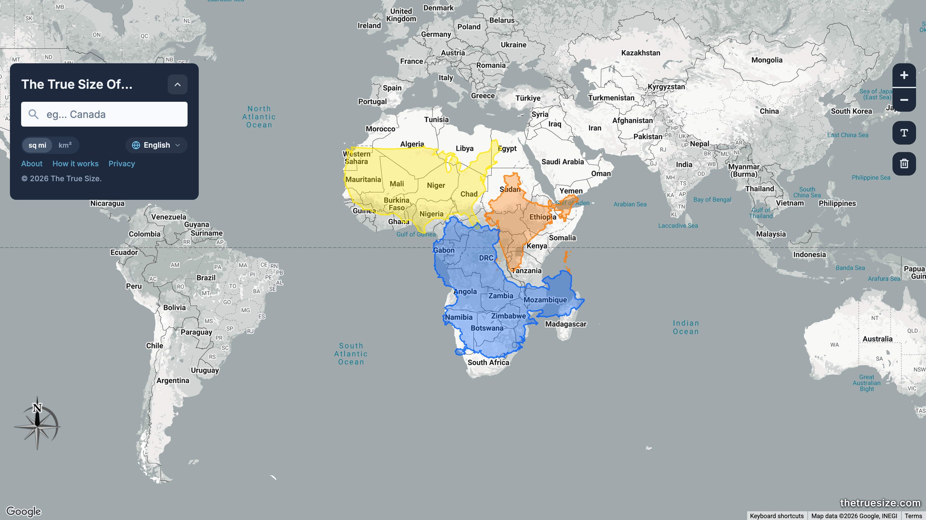
Compare Countries, States, Provinces, and Regions with This Simple Tool
Drag, drop and rotate countries, states, provinces, and regions around the map to compare their relative size. Is Greenland really as big as all of Africa? You may be surprised at what you find! A great tool for educators.
Nicole Feng
We introduce a method for approximating the signed distance function (SDF) of geometry corrupted by holes, noise, or self-intersections. The method implicitly defines a completed version of the shape, rather than explicitly repairing the given input. Our starting point is a modified version of the heat method for geodesic distance, which diffuses normal vectors rather than a scalar distribution. This formulation provides robustness akin to generalized winding numbers (GWN), but provides distance function rather than just an inside/outside classification. Our formulation also offers several features not common to classic distance algorithms, such as the ability to simultaneously fit multiple level sets, a notion of distance for geometry that does not topologically bound any region, and the ability to mix and match signed and unsigned distance. The method can be applied in any dimension and to any spatial discretization, including triangle meshes, tet meshes, point clouds, polygonal meshes, voxelized surfaces, and regular grids. We evaluate the method on several challenging examples, implementing normal offsets and other morphological operations directly on imperfect curve and surface data. In many cases we also obtain an inside/outside classification dramatically more robust than the one obtained provided by GWN.
The Glimmer — thefugue.space
A brief history of my attempts to bring Spatial Computing to the wider audience..

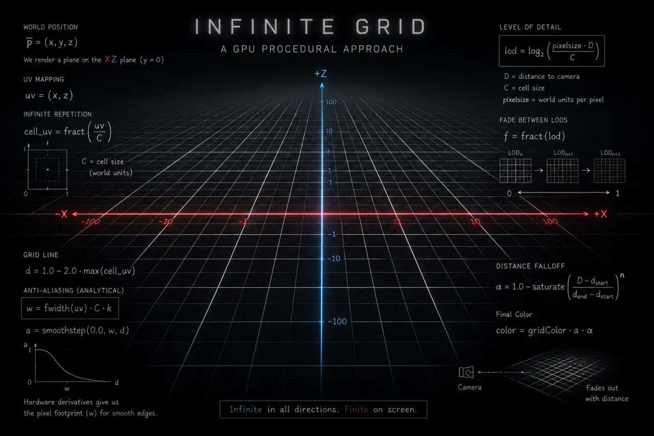
Infinite Grid Shader
Learning to create an infinite grid procedurally using GLSL shaders. This post contains my notes, lessons and findings, and is intended for personal reference. Therefore, you might find errors, misjudgments, and other issues, which are fine by me because my intention was to learn by teaching myself. In a way, I was being my own rubber duck.
Marine Biodiversity Observation Network
A global collaborative initiative contributing to the effective management of marine biodiversity and ecosystem services. A thematic node of GEO BON.
Lindenmayer Systems
Let me show you how to use Lindenmayer systems to produce beautiful images like this one:
Nicole Feng
We describe a method for computing signed distance to point clouds that allows fast pointwise evaluation at arbitrary spatial resolution. As input, our method takes a point cloud with normals; as output, it provides an analytical parameterization that allows queries of signed distance to the approximate underlying surface at arbitrary points — simultaneously providing reconstruction and distance. Our key idea is to reconstruct shapes by locally fitting point clouds with tori, which have closed-form signed distance functions. Tori are fitted in a feed-forward manner, using a pre-trained network to output per-point curvature and shift parameters. Importantly, our method does not require costly global optimization or spatial discretization, and is easily parallelizable. Underlying our method is a new theory that unifies signed distance with the classic reconstruction methods of winding numbers and Poisson surface reconstruction. We use our method to compute signed distance to point clouds arising from photogrammetry, meshes, 3D Gaussians, and neural implicits. Our method allows point clouds to be used directly in applications, without explicit surface reconstruction: as examples, we take offsets of point clouds, apply morphological and Boolean operations, and directly visualize offset surfaces using sphere tracing.
Spatial Analysis - at:// pizza thoughts
Some dense protocol theorizing about atproto spaces
Spatial Analysis - at:// pizza thoughts
Some dense protocol theorizing about atproto spaces