


MEaSUREs 2012 project focused on providing the scientific and civil communities with a state-of-the-art global DEM from SRTM processing improvements.
Natural Earth - Free vector and raster map data at 1:10m, 1:50m, and 1:110m scales
Nested polygons for each depth created from SRTM Plus. [drain file 56 show nev_download] [drain file 44 show nev_download] [drain file 47 show nev_download] [drain file 45 show nev_download] [drain file 48 show nev_download] [drain file 49 show nev_download] [drain file 50 show nev_download] [drain file 51 show nev_download] [drain file 52 show nev_download] [drain file 53 show nev_download] [drain file 54 show nev_download] [drain file 55 show nev_download] [drain file 46 show nev_download]
TESSERA: Precomputed FAIR Global Pixel Embeddings for Earth...
Petabytes of satellite Earth Observation (EO) data are freely available and can address critical global challenges. However, EO data quality is poor due to clouds and variable lighting conditions....

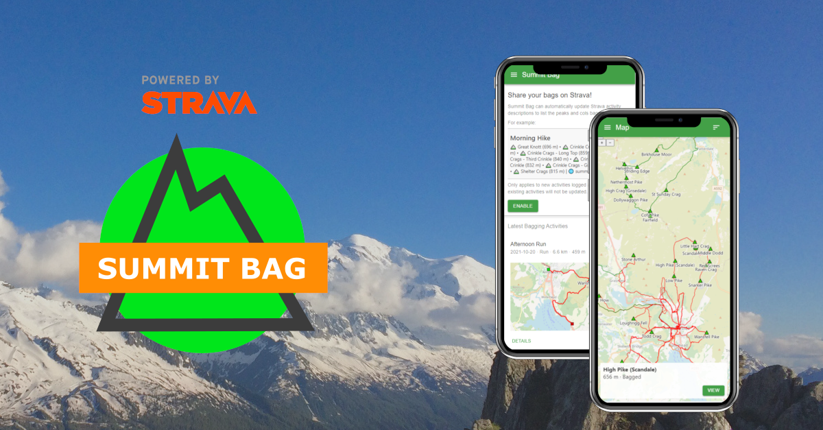
Summit Bag
Use Strava? Like hills? Automatically identify the peaks and cols that you've bagged with Summit Bag!
NASA Image and Video Library
NASA Image and Video Library, serving up consolidated imagery and videos in one searchable location. Users can download content in multiple sizes and resolutions and see the metadata associated with images, including EXIF/camera data on many images.
Documenting LLM Interactions throughout the Research Data lifecycle – RDA
Plenary: RDA 25th Plenary Meeting [part of International Data Week 2025]

Spatial Canvases: Towards an Integration Domain for HCI, with Orion Reed
Spatial Canvases: Towards an Integration Domain for HCI, with Orion Reed
Packing The World For Longest Lines Of Sight
I have a side project to find the longest line of sight on the planet1 using a novel Total Viewshed algorithm. At a resolution of 3 arc-seconds (~92m x 92m), the planet contains around 4.5 billion elevation samples2. Now obviously we don’t need to calculate the visibility between literally every single one of those, so how do we begin to cut it up? That’s what I’ll explore in this post.
3D Terrain Maps
With spring about to arrive, it is time to end this series, get away from the computer, and go outside. I hope that you find the information useful!
LiDAR Lens
Explore 1 m Environment Agency LiDAR through a movable lens: hillshade, slope, local relief and sky-view modes, with historic maps and open heritage records.
Drones Offer Alternative to Balloons For Weather Research - Slashdot
The U.S. company Meteomatics has created an automated weather-monitoring system that uses drones to collect atmospheric data at multiple altitudes before returning to recharge and upload their findings. The so-called Meteobase, which consists of a base station on the ground with a drone that can be ...

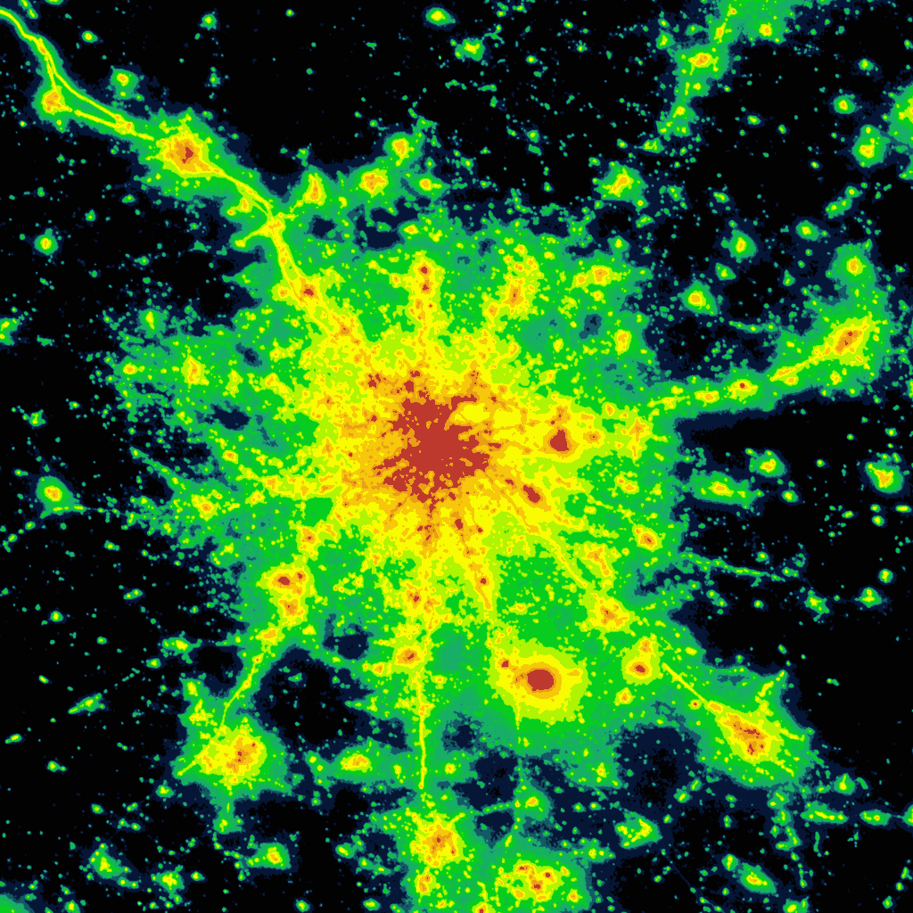
Light Pollution Map
Interactive world light pollution map. The map uses NASA Black marble VIIRS, Sky brightness, Aurora prediction, observatories, clouds and SQM/SQC overlay contributed by users.
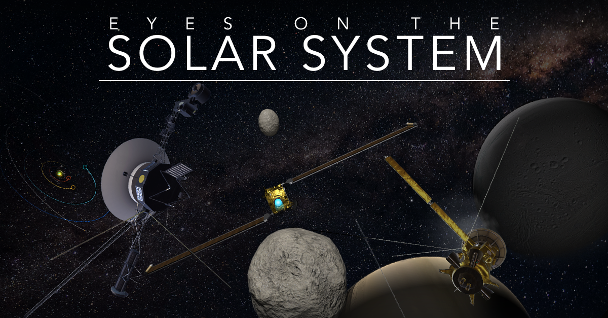
Eyes on the Solar System - NASA/JPL
Explore the 3D world of the Solar System. Learn about past and future missions.
Juice
I need to push some updates to the remote sensing instruments, which are there to measure the surface and definitely not do anything else.

22. Introduction — Spatial Data Management with Earth Engine
A database management system (DBMS) allows users to store, insert, delete, and update information in a database. Spatial databases go a step further because they record data with geographic coordinates.