

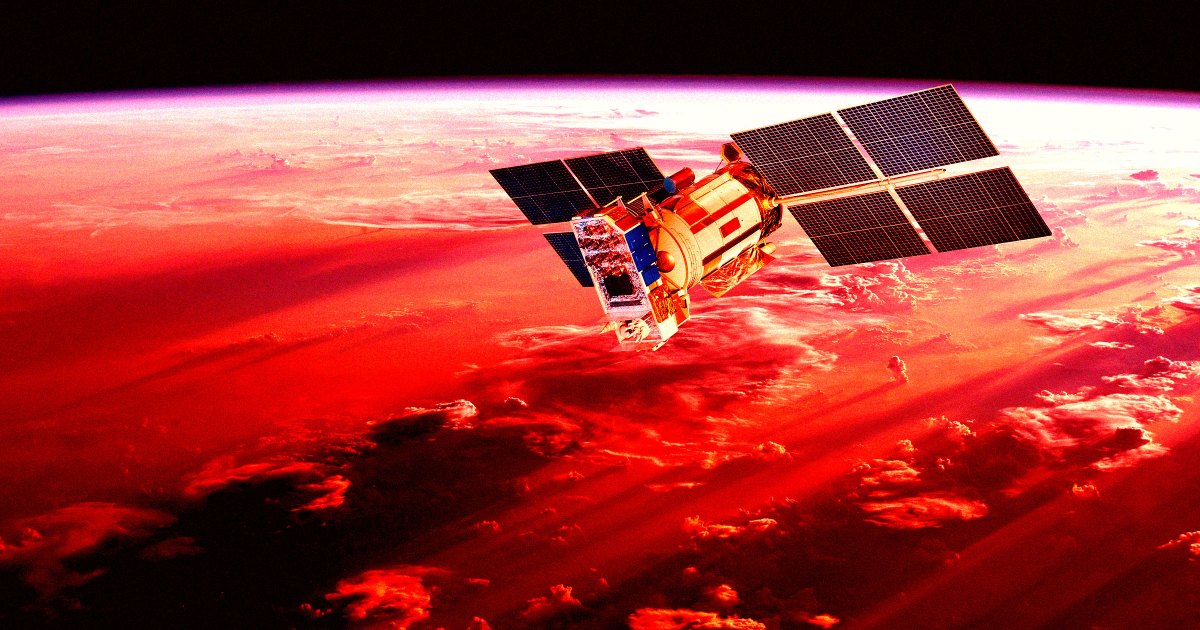
Scientists are warning that a powerful solar storm threw GPS readings off by as much as 33 feet -- enough to cause real-world safety dangers.
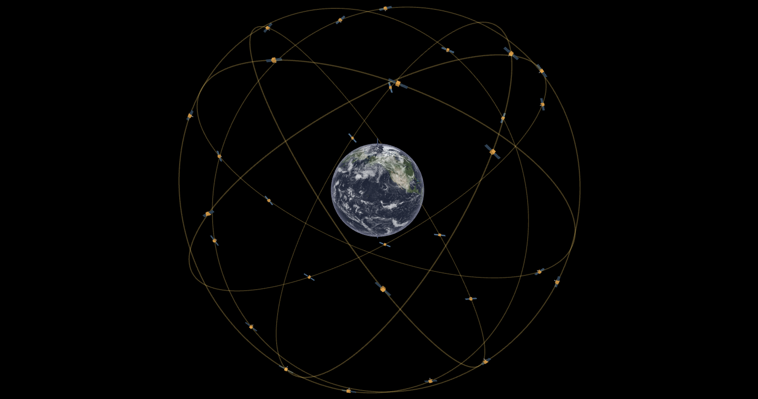
The Physics Of GPS | An Interactive Exploration
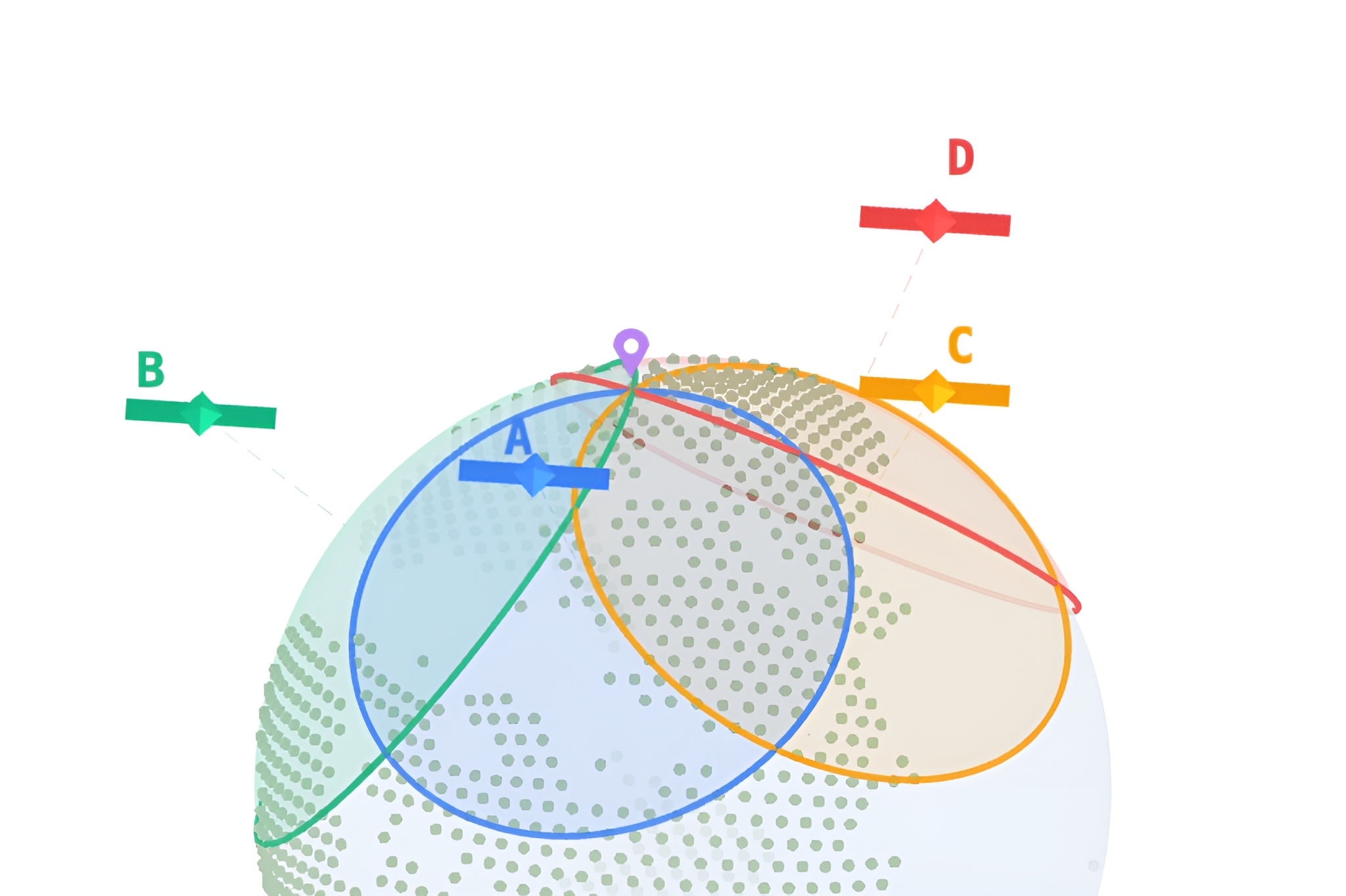
An interactive exploration of how GPS works — from the speed of light and trilateration to the cheap clock problem and Einstein's relativity corrections.
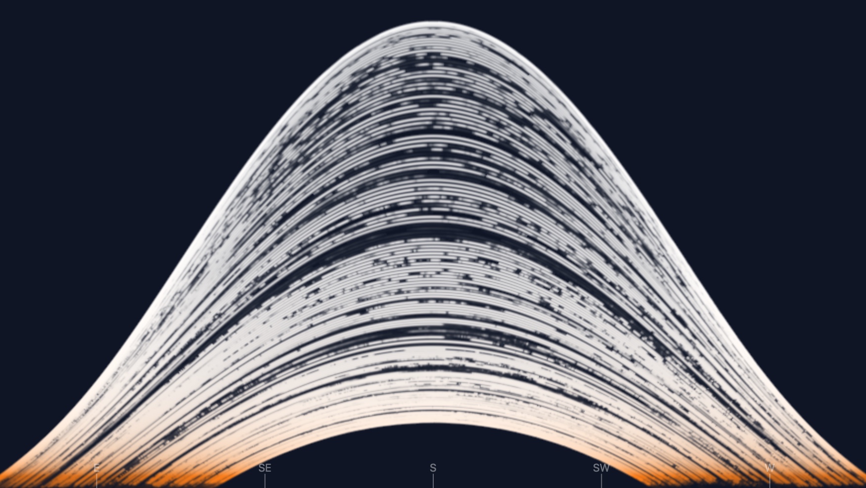
Solargraph Simulator – eagereyes
How a 6-month exposure shows the sun's path across the sky, from solstice to solstice
What If We Kept Our Cars Parked for Trips Less Than One Mile? | US EPA
Thought starter about walking or biking for trips less than one mile.

The Enshittification of Google Maps
Hi friends, Almost every time I drive down the West Side Highway in New York City, Google Maps tells me to get off at the ship terminal – even though I am...

5000 Feet is the Best
5000 FEET IS THE BEST is based on two meetings with a former drone operator which were recorded in a hotel in Las Vegas in september 2010. On camera, the drone operator agreed to discuss the

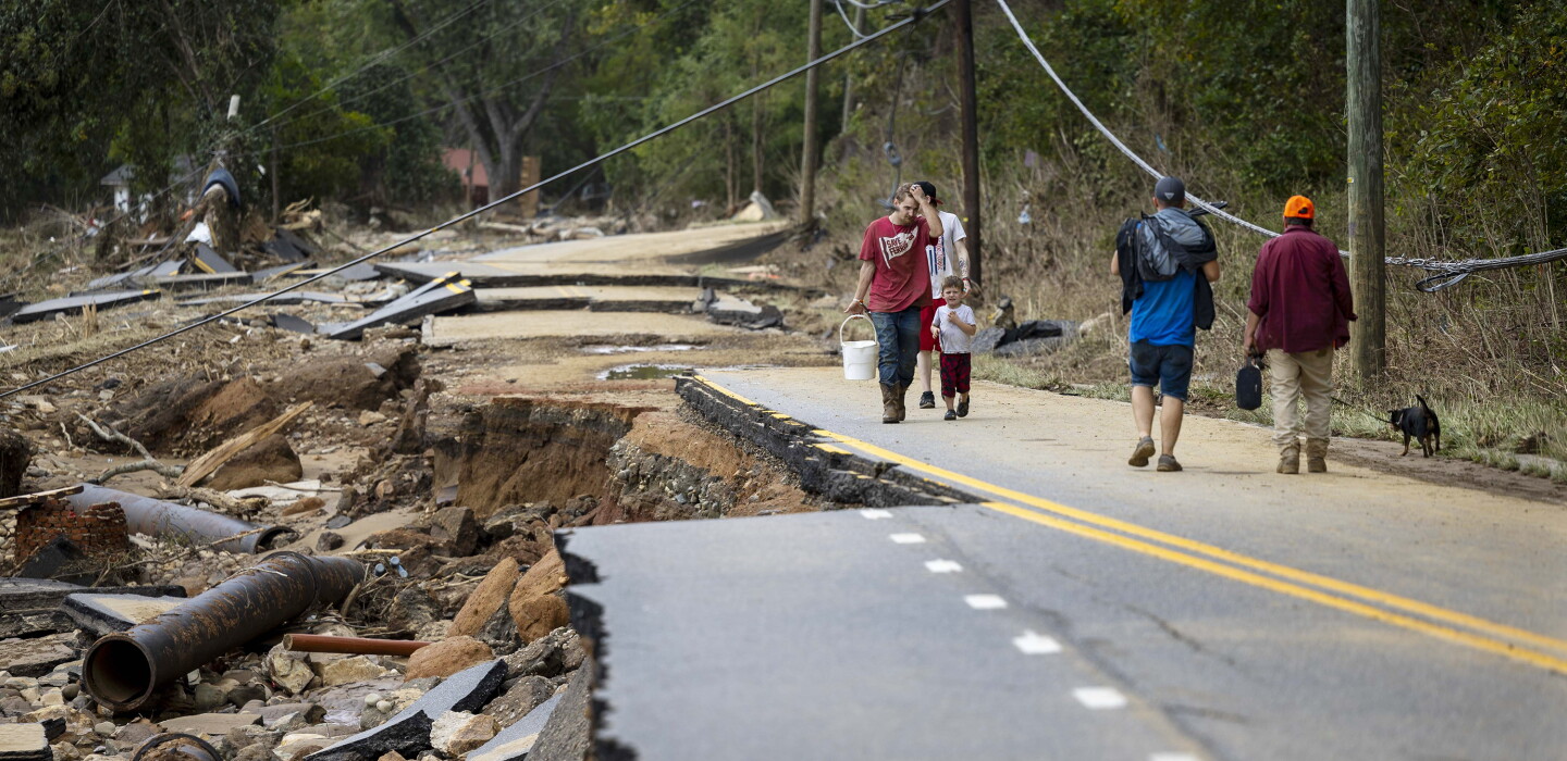
Lessons From Hurricane Helene on Evacuation Orders, Messaging and Emergency Managers — ProPublica
After four months of reporting, ProPublica found that the warnings about Helene were eerily accurate. Yet, local residents remained largely unaware of the enormity of danger approaching as the storm closed in.

Jamming and Spoofing Techniques for Drone Neutralization: An Experimental Study
This study explores the use of electronic countermeasures to disrupt communications systems in Unmanned Aerial Vehicles (UAVs), focusing on the protection of airspaces and critical infrastructures such as airports and power stations. The research aims to develop a low-cost, adaptable jamming device using Software Defined Radio (SDR) technology, targeting key UAV communication links, including geolocation, radio control, and video transmission. It applies jamming techniques that successfully disrupt UAV communications. GPS spoofing techniques were also implemented, with both static and dynamic spoofing tested to mislead the drones’ navigation systems. Dynamic spoofing, combined with no-fly zone enforcement, proved to be particularly effective in forcing drones to land or exhibit erratic behavior. The conclusions of this study highlight the effectiveness of these techniques in neutralizing unauthorized UAVs, while also identifying the need for future research in countering drones that operate on alternative frequencies, such as 4G/5G, to enhance the system’s robustness in evolving drone environments.

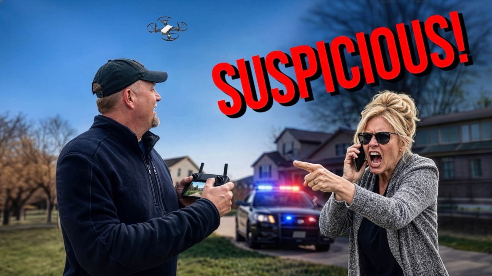
The U.S. Government Just Gave Drone Haters A Free Pass To Report You
Imagine if the news media put out an alert saying, “The federal government wants you to keep a watchful eye and report any suspicious red vehicles that you
Drones, GIS and Cameras Are Transforming Disaster Assessment
In the Carolinas, ICF drones have conducted rapid damage assessments in a 100-mile zone following Hurricane Helene as part of a geospatial initiative to speed up federal recovery funding requests.
Everything to know about this week's solar eclipse : Short Wave
During a total solar eclipse the world around you is very different. The sun gets totally blotted out and suddenly, it feels like night time. The temperature drops. Birds stop singing. These surreal celestial events happen every year or so around the globe – including tomorrow. To get you prepped, we’re talking to eclipse chasers about what makes these few minutes of darkness worthwhile and break down how to view an eclipse. That includes using special specs, so we’re linking the American Astronomical Society’s list of trustworthy eclipse glasses. To nerd out even more, check out NASA’s eclipse website.Interested in more space news? Email us your question at shortwave@npr.org and we may cover it in an upcoming segment.Support public media with NPR+ and enjoy perks for over 25 podcasts like this one. This show’s perks include sponsor-free listening. Learn more at plus.npr.org.

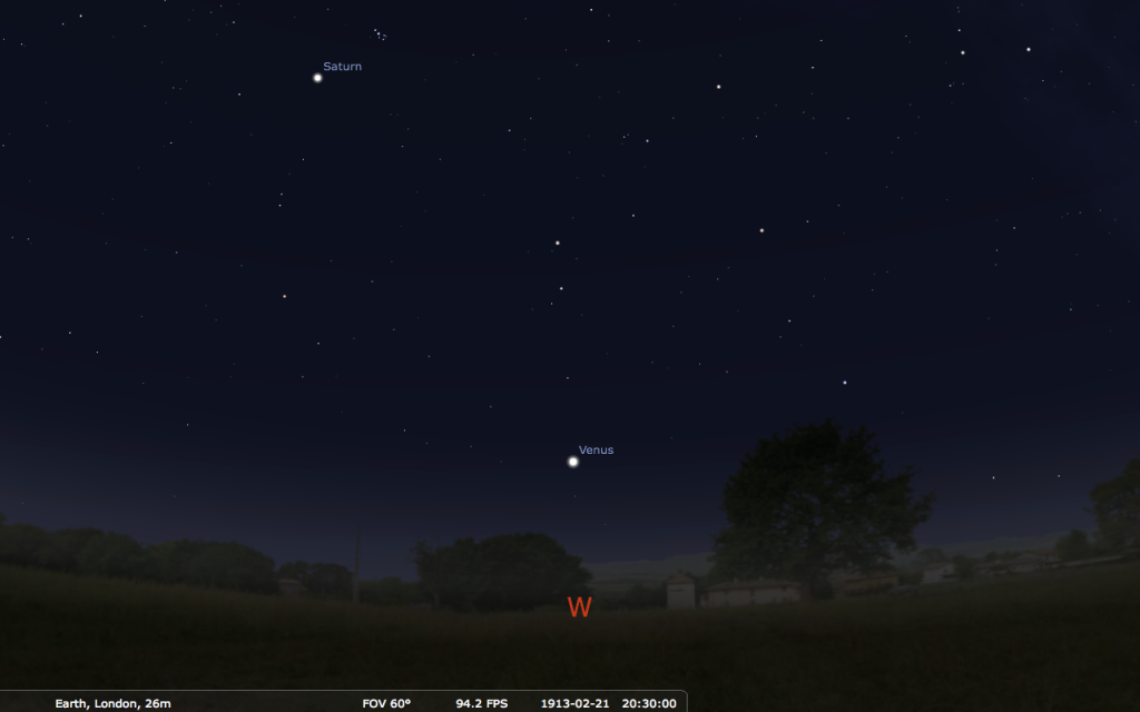
Scareship Venus
The planet Venus normally sticks close to the Sun and so can only be seen very shortly after sunset, to the west (or before sunrise, to the east, when it is a morning star). But every 584 days, when it reaches maximum elongation in its orbit, it is far enough from the Sun in apparent [...]
Sensing with the sun: A short introduction to a sensor story within communities
Update: The original piece, published on 23 May 2025, was updated on 14 May 2026 to include developments from the community of practice working with open-source sensors, which will be presented at upcoming events from 15 to 25 May. Find out more below.Sensing with the sun – continues!After our successful “Sensing with the sun” sharing session in 2025, the open-source sensor community is back! From 15 to 24 May, practitioners from the Global Majority and friends will share innovative ideas in workshops, talks and tests during three events – GIG week, re:publica and the Open Hardware Summit – in Berlin, Germany. Not around or reading this too late? No worries, you can find out more online and become an active contributor any time.What is this all about?Since 2022, the Local Networks Initiative (LocNet) has facilitated exchange and collaboration to innovate sensor-based technologies for the needs and visions of rural and remote communities. This makes connection and communication through digital networks more meaningful on the ground. In LocNet’s community of practice (CoP) “Tech Together”, we facilitate hands-on dialogues for inclusive and open technologies. Bring yours or join already existing spaces of sharing and co-creation.Featured technologies in 2026 in presentations and practitioner circlesSEMEA-TEC | Brazil: This initiative is all about low-cost social technologies for family farming, including an electric fence monitoring system to mitigate wild boar invasions and autonomous environmental monitoring of mushroom greenhouses. SEMEA-TEC is a good starting point to find out more about LoRa communication and distributed sensing systems.OSPIT | Germany/Indonesia/Portugal: Here comes a solar-powered solution for automated irrigation and monitoring of micro-climates, making watering more efficient and reliable, targeted for crops of local farming projects. What’s more, OSPIT is also a customisable solar charge controller, a Wi-Fi access point for off-grid permaculture projects, and a power source for additional sensing tools.Sootmap project | Nigeria: Learn how local communities in the Niger Delta report and mobilise against the notorious air pollution impact of oil flaring. Using community engagement and open technologies to monitor particle matter can be a powerful tool for advocacy and environmental justice.senseBox:bike | Brazil/Germany: This is an initiative to collect data while cycling across Brazil, France and Germany. Attached to almost any bicycle, this open-source device helps local bike communities gather evidence on cycling conditions – including overtaking distance, surface quality, air pollution and speed – and advocate for safer and better urban cycling infrastructure.HERMES | Brazil/Mexico: Digital data communication over HF radio through HERMES is an actionable alternative to the internet. It can provide backhaul for data sharing while at the same time helping to fulfil human communication needs in remote and rural areas in an affordable and resilient way. Users can talk and share digital information (audios, photos, data) over the airwaves over hundreds of kilometres.Join us in “Tech Together”You liked what you saw in Berlin and want to stay in touch? Or did you miss it, unfortunately? Join the community of practice to learn, share, replicate or co-create. Send an email to: sensor-cop@apc.orgWhat happened in 2025"If a tree falls in a forest and there’s no one around to hear it, does it make a sound?" This philosophical question of the 18th century about perception, observation and existence can also be observed in the pressing real-world problems of many remote and Indigenous communities in 2025. Is the Tapajós river in the Brazilian Amazon really polluted by illegal gold mining if the local river dwellers cannot prove it? Are communities in the oil-producing Niger Delta region of Nigeria really suffering from gas flaring if there are no public statistics documenting it? Are changes in micro-climate in Western Java undermining food security if no local weather data is recorded? The answer is three times yes. But unlike the 18th century, nowadays sensors can be put at the service of those affected to empower local voices in their pursuit to detect and document socio-environmental violations – in such a way that governments and corporations cannot refuse to recognise the problem.Until quite recently, environmental sensors have been expensive and hard to use, but the rise of low-cost devices with open-source software to control them, along with open data platforms to share and compare information, have created many possibilities to measure and interact with the world surrounding us. Commercial ready-made sensors are widely promoted for purposes from protecting homes from burglars to remotely cultivating ornamental plants in an apartment, yet these only represent a tiny share of relevant and replicable use cases. Beyond these gadgets there is a movement going on among people: a creative and needs-based appropriation of such technologies.An ongoing explorationCommitted to ensuring that the needs and visions of communities should guide the design and implementation of technologies, the Local Network Initiative (LocNet) led by APC and Rhizomatica supports the participatory exploration and development of practical sensor solutions. In a first phase, LocNet engaged in a dialogue to learn more about the demand for digital local services in communities. Agriculture and environmental monitoring as well as territorial defence are some of the fields pointed out as promising for localised applications of sensors.To encourage autonomous and sustainable use of sensors, LocNet also supports the development of open hardware. A concrete example is the OMPPT charge controller; its circuit board has already been customised for the integrated and remote use of sensors and relays in an automated irrigation solution. The OMPPT can also be a foundational building block to directly gather and process data from other smaller solar-powered sensor boards (e.g. ESP32) covering bigger areas of agricultural lands or territories to monitor. Considering the nature of most communities benefiting from sensor technologies and the challenges many of them face in terms of power supply, solar-powered sensors are an ideal solution to ensuring that even the remotest of places with limited power infrastructure can make meaningful use of sensors.Success stories and pilot experiences from Nigeria, Indonesia and ColombiaAn example of a successful sensor use case is the work of the Media Awareness and Justice Initiative (MAJI) in Nigeria. MAJI is based in Port Harcourt, which is at the centre of some of the most polluting terrestrial oil extraction on the planet. To help local communities taking action against polluters with real evidence that can hold up in court, solar-powered community-based sensors monitor the air quality in areas affected by gas flaring, as a means of documenting the conditions that are harmful to health.Another sensor project being developed is the use of local weather stations in Indonesia which combine a set of wind, rain, temperature and humidity sensors with community-centred connectivity solutions to monitor micro-climates in areas still not covered by state meteorological stations. This citizen-science approach will contribute to the creation and sharing of baseline data, which will be exchanged with national and international stakeholders working on the mitigation of climate change. Further, the participating rural communities will obtain a local digital infrastructure that can be extended for the hosting of other digital services related to agriculture, education, communications and disaster relief. In Colombia, Colnodo has developed an Environmental Monitoring Kit to monitor air and water quality and sound pollution. The kit was piloted and sent to Red INC community networks and Jxa'h Wejxa Casil network. These communities tested the devices, their management and data transmission, evaluating the user experience within their territories. This participatory approach was able to identify a need for community support and capacity building in the use of the devices and planning for their use with more efficiency in the community's daily life. Processes like these place communities as the protagonists of their own community environmental monitoring, promoting the collection and analysis of environmental data for decision making.Photo: MAJI

