

pyGIS is an online textbook covering all the core geospatial functionality available in Python. This includes handling vector and raster data, satellite remote sensing, machine learning and deep learning applications.
Python Tutorial | Learn Python Programming Language - GeeksforGeeks
Your All-in-One Learning Portal: GeeksforGeeks is a comprehensive educational platform that empowers learners across domains-spanning computer science and programming, school education, upskilling, commerce, software tools, competitive exams, and more.

Deep Learning with Python
Start building deep learning applications with Python and Keras today!

Pydata Paris Virtual Meetup June 2021
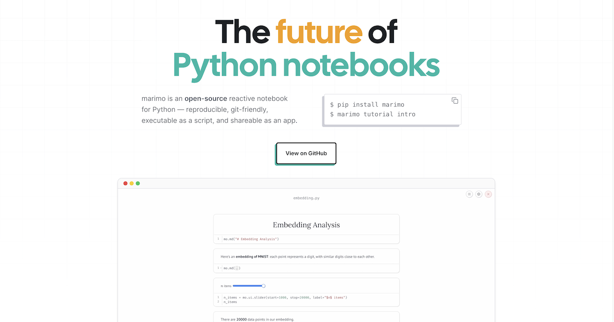
marimo | a next-generation Python notebook
Explore data and build apps seamlessly with marimo, a next-generation Python notebook.
SciPy 1.0: fundamental algorithms for scientific computing in Python
SciPy is an open-source scientific computing library for the Python programming language. Since its initial release in 2001, SciPy has become a de facto standard for leveraging scientific algorithms in Python, with over 600 unique code contributors, thousands of dependent packages, over 100,000 dependent repositories and millions of downloads per year. In this work, we provide an overview of the capabilities and development practices of SciPy 1.0 and highlight some recent technical developments.

Installation - FlashInfer 0.6.13 documentation
FlashInfer is available as a Python package, built on top of PyTorch to easily integrate with your python applications.
Matplotlib: A 2D Graphics Environment
Matplotlib is a 2D graphics package used for Python for application development, interactive scripting,and publication-quality image generation across user interfaces and operating systems
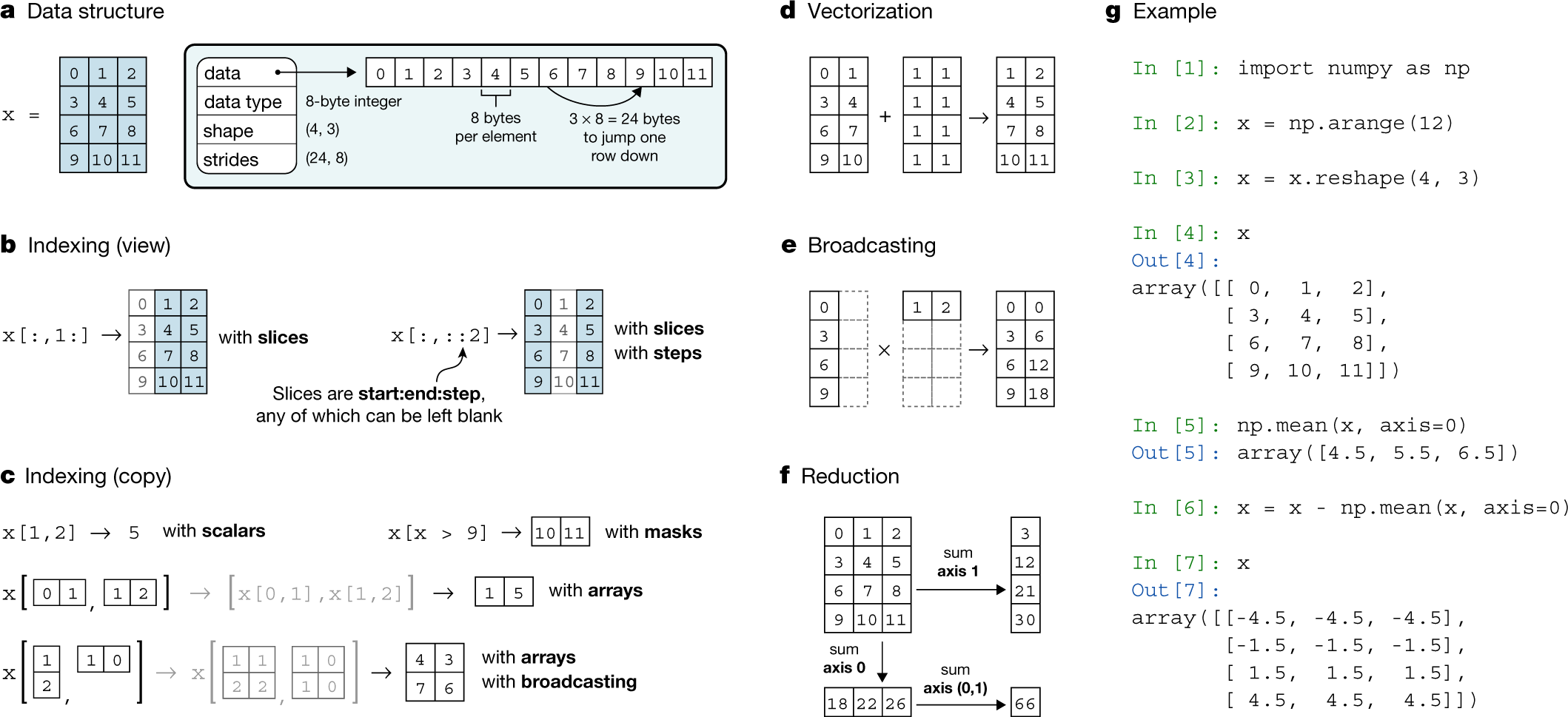
Array programming with NumPy
Array programming provides a powerful, compact and expressive syntax for accessing, manipulating and operating on data in vectors, matrices and higher-dimensional arrays. NumPy is the primary array programming library for the Python language. It has an essential role in research analysis pipelines in fields as diverse as physics, chemistry, astronomy, geoscience, biology, psychology, materials science, engineering, finance and economics. For example, in astronomy, NumPy was an important part of the software stack used in the discovery of gravitational waves1 and in the first imaging of a black hole2. Here we review how a few fundamental array concepts lead to a simple and powerful programming paradigm for organizing, exploring and analysing scientific data. NumPy is the foundation upon which the scientific Python ecosystem is constructed. It is so pervasive that several projects, targeting audiences with specialized needs, have developed their own NumPy-like interfaces and array objects. Owing to its central position in the ecosystem, NumPy increasingly acts as an interoperability layer between such array computation libraries and, together with its application programming interface (API), provides a flexible framework to support the next decade of scientific and industrial analysis.
The Story of Python and how it took over the world | Python: The Documentary
kjaanson.eurosky.social/atproto-exploration-tooling
Small codebase to explore and build helper tooling for ATProto research. Mostly for my own use.
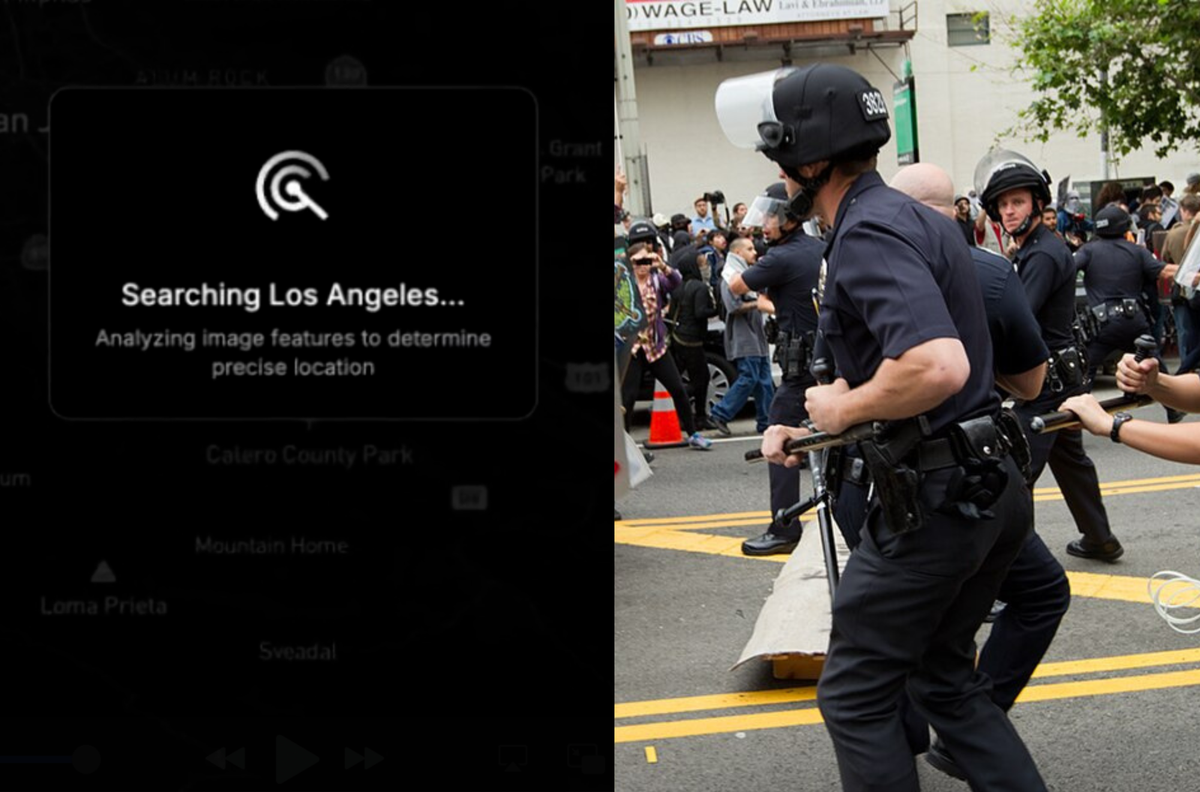
The Powerful AI Tool That Cops (or Stalkers) Can Use to Geolocate Photos in Seconds
For months members of the public have been using GeoSpy, a tool trained on millions of images that can find the location a photo was taken based on soil, architecture, and more. It's GeoGuesser at scale.
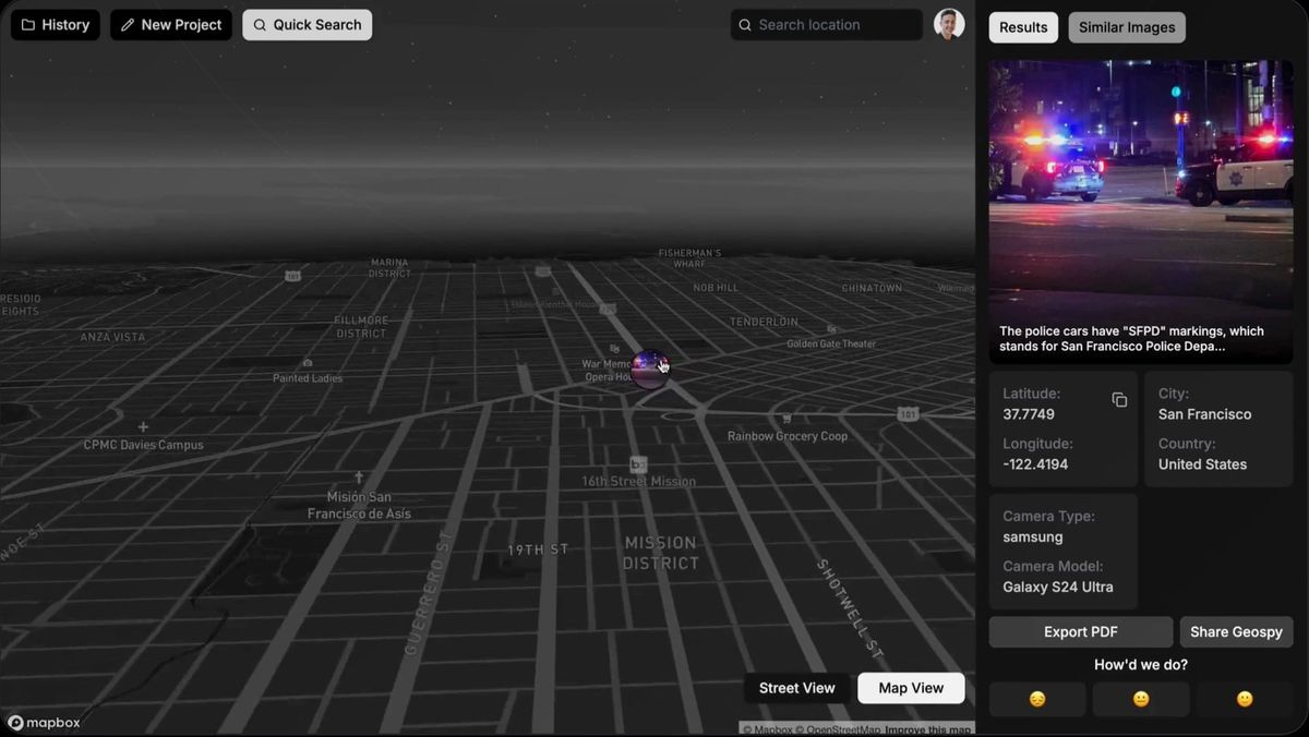
LAPD Eyes ‘GeoSpy’, an AI Tool That Can Geolocate Photos in Seconds
Emails obtained by 404 Media show the LAPD was interested in GeoSpy, an AI tool that can quickly figure out where a photo was taken.
bluesky-social/workshop-codespace
Workshops for learning atproto. Works as a Github Codespace or locally.
bluesky-social/workshop-codespace
Workshops for learning atproto. Works as a Github Codespace or locally.