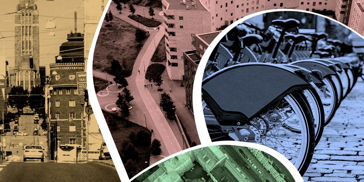
How Finns learned to slow down and share the road
Helsinki, Finland's Amazing Traffic Safety Record, Explained
The Nordic nation’s rate of vehicle fatalities is a fraction of the toll in the US, despite a harsh climate and ice-covered streets. Here’s how the Finns do traffic safety.
Streets are made for talking: so that's what we did - Bridges For Communities
We’ve been trying something new at Bridges. Popping up on high streets and town centres in Bristol to talk to people about community life and the issues that are impacting […]

The Times are Urgent: Let’s Slow Down • Writings – Bayo Akomolafe
An Open Letter to CONCORD-DEEEP, CIVICUS, GCAP, Civic Society Organizations and Activists Working for a ‘Better’ World. This article is co-authored by Bayo Akomolafe and Marta Benavides. With deep gratitude for the stories of transformation now emerging across the planet, and for the renewed hope we share for a different kind of world, we greet you from our hearts.

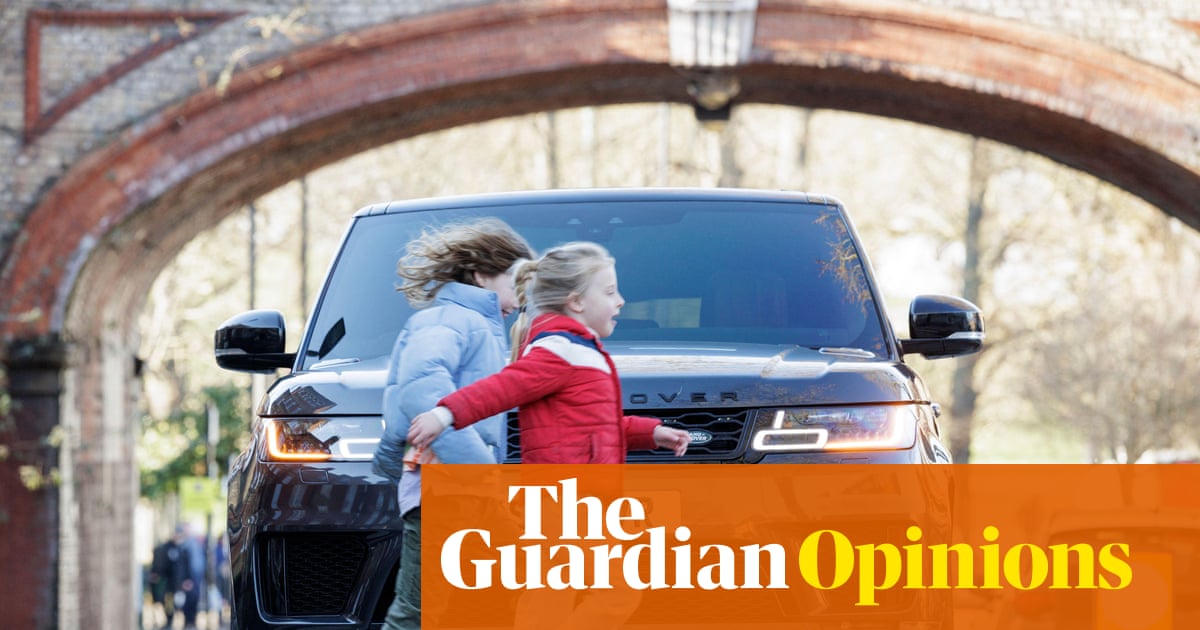
Britain’s cars and SUVs are growing bigger – but there is a way to stop this deadly ‘carspreading’ | Christian Wolmar
Larger vehicles crowd our roads and are far more dangerous to pedestrians. Let’s curb them before they do even more damage, says says transport commentator Christian Wolmar
The role of transportation in the persuasiveness of public narratives.
Exploring the social life of urban spaces through AI
We analyze changes in pedestrian behavior over a 30-y period in four urban public spaces located in New York, Boston, and Philadelphia. Building on William Whyte’s observational work, which involved manual video analysis of pedestrian behaviors, we employ computer vision and deep learning techniques to examine video footage from 1979–80 and 2008–10. Our analysis measures changes in walking speed, lingering behavior, group sizes, and group formation. We find that the average walking speed has increased by 15%, while the time spent lingering in these spaces has halved across all locations. Although the percentage of pedestrians walking alone remained relatively stable (from 67% to 68%), the frequency of group encounters declined, indicating fewer interactions in public spaces. This shift suggests that urban residents are using streets as thoroughfares rather than as social spaces, which has important implications for the role of public spaces in fostering social engagement.

Hike, Bike, Drive Offline – Navigate with Privacy
Discover more of your journey - Powered by the community
Building Roundabout: A Pro-Social Platform for Local Communities
A conversation with the team behind New_ Public's Roundabout.
.png)
“The Problem Factory”- Preemptive risk aversion in infrastructure planning and the role of professional services - Niskanen Center
In a small site of special scientific interest about 20 miles northwest of Oxford, a “shed” is being built.

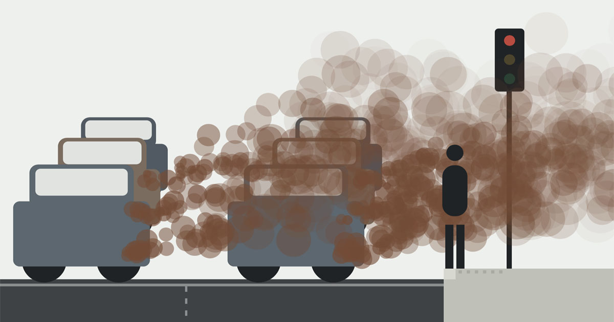
'Step back' - air pollution at pedestrian crossings
Every busy road produces a cloud of pollution you can't see. Where you stand in it matters more than most people might realise.
Speed: How It Explains the World - Vaclav Smil
In a world that feels like it’s moving faster than ever, Smil examines how our relentless pursuit of speed – in areas such as production, travel and communication – shapes not only our technological landscape but also our social and environmental realities. And through engaging anecdotes and striking statistics, Smil challenges the assumption that faster is always better.

The Modern Moloch
On the streets of early 20th-century America, nothing moved faster than 10 miles per hour. Responsible parents would tell their children, “Go outside and play in the streets,” all day. And then the automobile happened. And then automobiles began killing thousands of children, every year. Much of the public viewed the car as a death machine.

Three Lane Highway news & Reviews | PC Gamer
The latest Three Lane Highway news and reviews
Yohan on Twitter / X
For six months, Google Maps sent a slice of drivers in ten American cities down deliberately slower routes.About 30 seconds slower on average, and under 2% of trips were touched. The experiment ran on roughly 100 of the most congested road segments in each city, switching on… pic.twitter.com/5cshNdmWU2— Yohan (@yohaniddawela) August 28, 2026

Do we actually know how to make cities safer for women?
Women-only buses, catcalling fines and gender-sensitive design — we've tried them all.