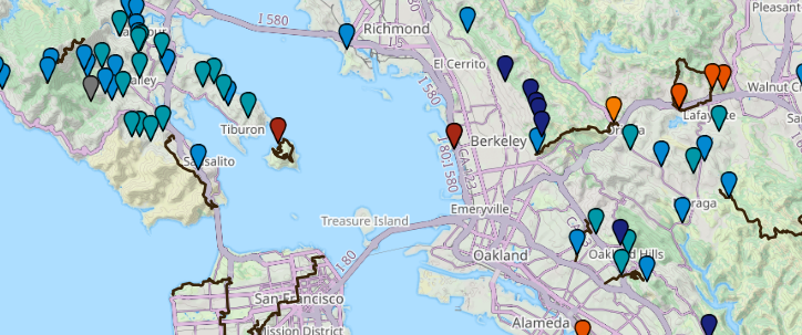
Transit-accessible hikes, parks, and trailheads across California.
Public Transportation - Yosemite National Park (U.S. National Park Service)
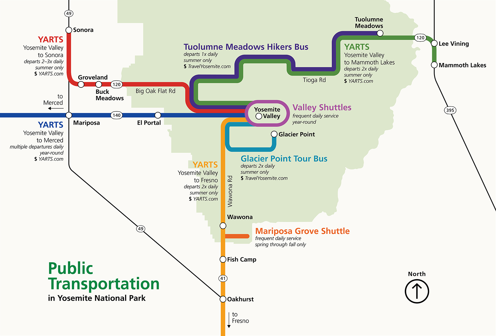
Public Transportation
3 Great ‘Workout Hikes’ in the Bay Area to Try (When You Can’t Face the Gym) | KQED
Want to get some heavy exercise without a treadmill? Pick one of these arduous — but rewarding — local mountain trails.

Weekend Transit Hacking: Peninsula to Oakland | Offprint
I have close friends who live in Oakland which is across the Bay from me. We generally meet in the city to hang out...

Bike Tahoe – Tahoe's Ultimate Bike Trail Guide
South Tahoe Trails North Tahoe Trails Truckee Trails California Alps Trails Carson Valley Trails
Hike, Bike, Drive Offline – Navigate with Privacy
Discover more of your journey - Powered by the community
Hiking in Houston | 12 Amazing Trails | Blog
Explore the breathtaking trails & natural beauty of Houston. Plan your outdoor journey now and embark on an unforgettable adventure!

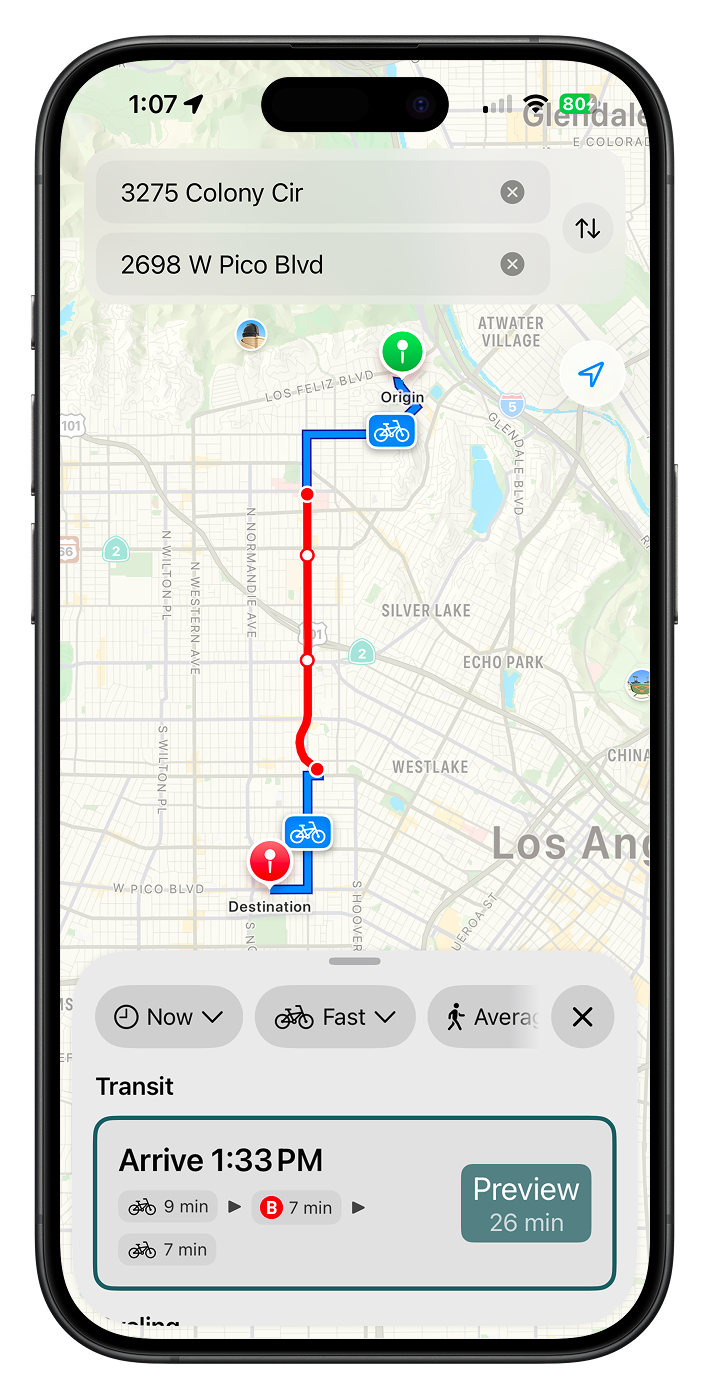
Modemix — Biking to transit, made effortless.
Biking to transit, made effortlessly simple. Turn your 20-minute walk into a 5-minute ride.
Designing a wayfinding concept for Vancouver's Skytrain system.
I wasn’t always a big fan of public transport.

Yosemite Area Regional Transportation System


The Real Transit Map
Just because a route is on the map doesn’t mean that it’s useful.
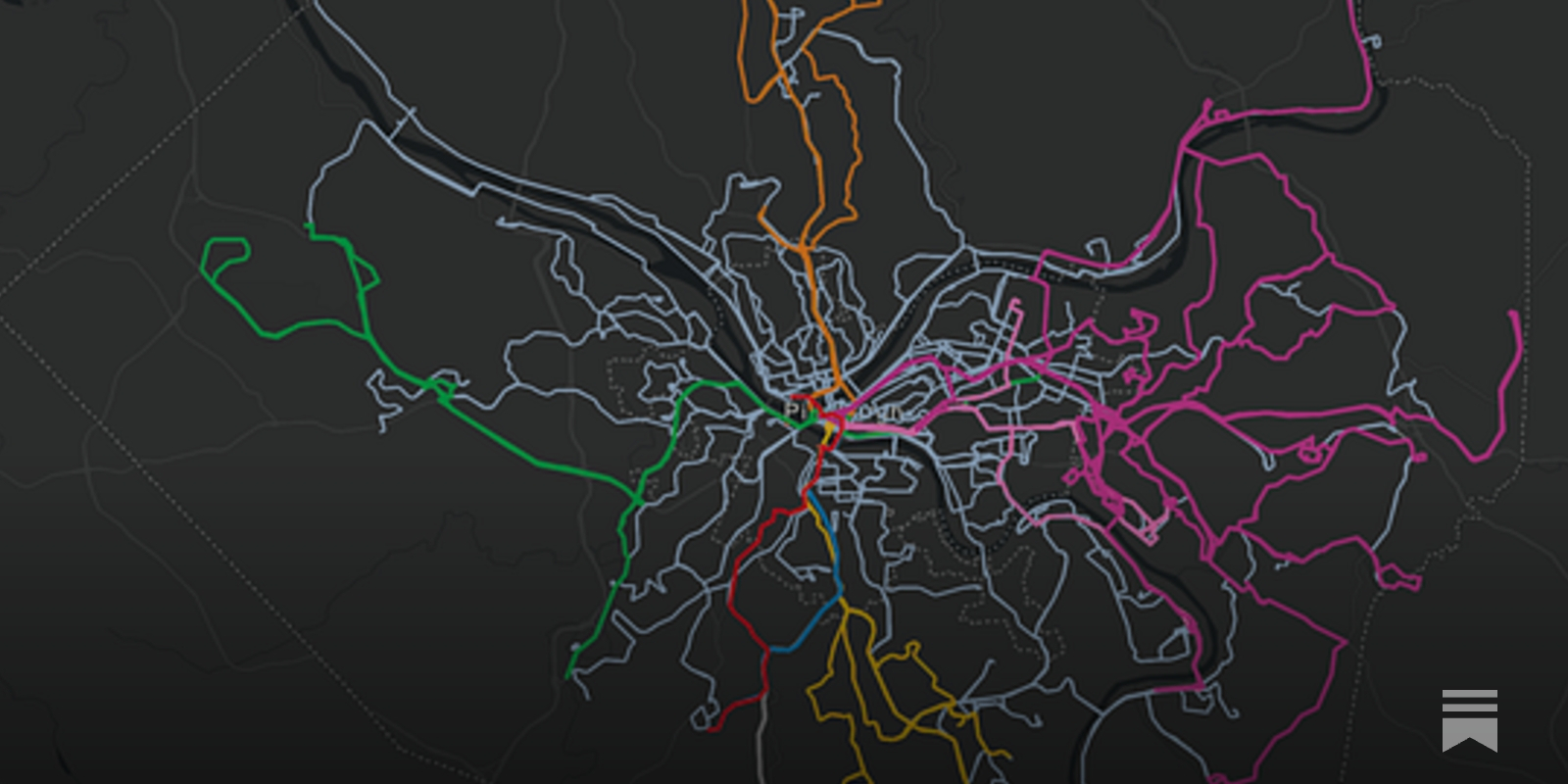
Bike Routes to Look Forward To | Offprint
A hopeful view toward the future of biking in the Bay

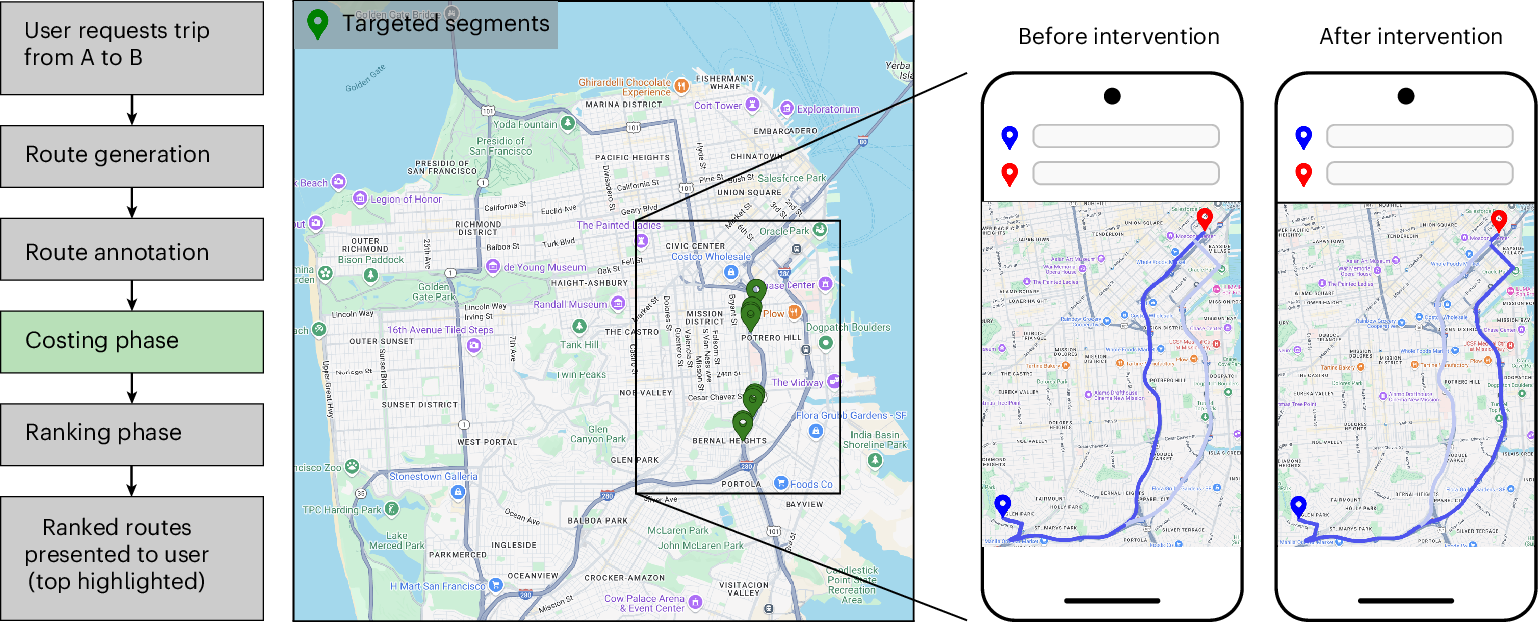
Urban congestion relief experiments through routing-app interventions
Traffic congestion remains a persistent challenge for urban mobility, increasing travel delays and elevating CO2 emissions. The widespread use of smartphones and GPS navigation creates new opportunities to mitigate congestion through routing optimizations in apps, yet real-world evidence for the effectiveness of such interventions is limited. Here we report large-scale empirical experiments evaluating routing-based traffic interventions on ~100 highly congested road segments across 10 major US cities. By rerouting a small share of Google Maps trips from targeted congested highway and arterial segments to less congested alternatives of equivalent road-classes with comparable travel times, we observe a city-average 2% increase in vehicle speeds on the intervened segments, along with improved travel times 0.7% and potential annual reductions exceeding 1,000 tons of CO2-equivalent emissions per city in the majority of studied locations. These findings provide evidence that marginal routing interventions involving a small proportion of vehicles can measurably enhance overall road network efficiency, offering a practical pathway to easing congestion and advancing urban sustainability.
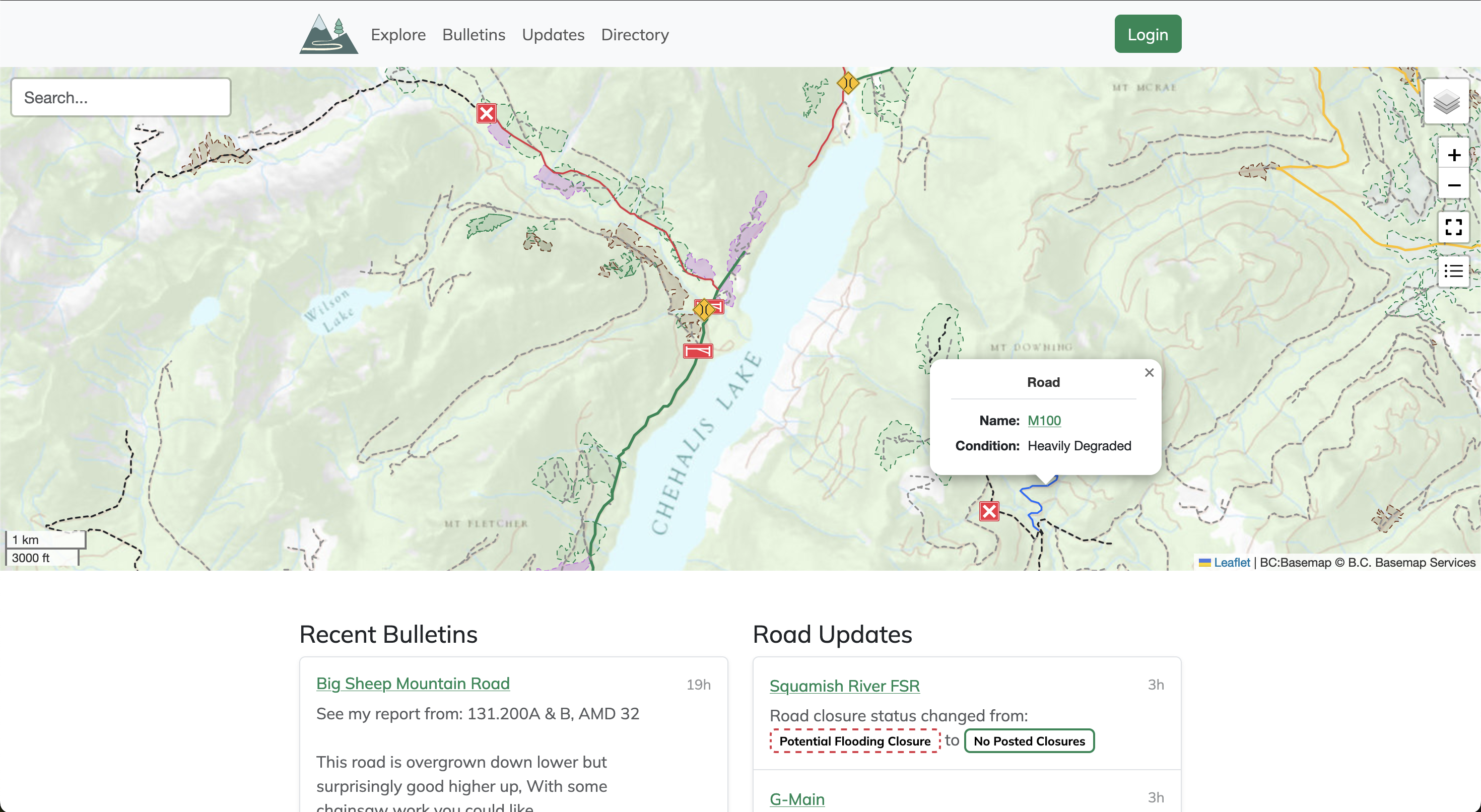
Service Road Atlas
Service roads are an integral part of accessing the wilderness, but they're constantly changing over time. Use the Service Road Atlas to find the latest community driven updates on the roads you wish to access.
Home | University of California, Riverside
UC Riverside is the nation’s leader for social mobility with a diverse & inclusive community pioneering research with impacts around the globe.