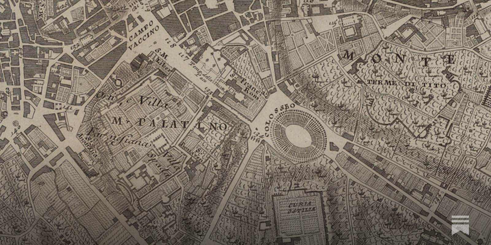
Charting enlightenment
Reinventing Explanation
The Babylonian Map of the World is one of the world's oldest extant maps, dating to 600 BCE. It's a crude map, difficult to read at a glance, but fortunately an accompanying cuneiform text describes the features on the map, including Babylon, seven other cities, a canal, and a mountain: Modern maps are, of course, far better than this early map. They improve on it by taking advantage of the many map-making techniques developed since 600 BCE, such as: surveying to get proportions correct; projections to correct for the curvature of the Earth; methods to depict topographic features; and so on. Even ideas such as showing roads and nautical routes were not a priori obvious, but had to be invented.
Steam Community :: Guide :: Map Generation in Slay the Spire
In this brief guide I will try to explain the relevant information regarding Map Generation and maybe some new ways to look at the game....

OldMapsOnline
The easy-to-use getaway to historical maps in libraries around the world.

A Beginner’s Guide to Scientific Roadmapping
Wonderful maps and how to read them

The Nation on No Map: Black Anarchism and Abolition
The Nation on No Map examines state power, abolition, a…


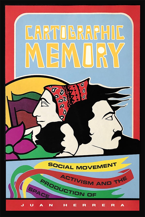
Cartographic Memory: Social Movement Activism and the Production of Space
“Cartographic Memory is a creative, important, and well-written book that offers a vital analysis of Latinx activism in Oakland. Juan Herrera’s concept of social movement continuities helps us analyze the range of ways that actors make social change, rather than only focusing on the most radical politics or certain epic moments. Herrera’s book is an outstanding contribution toward building a nuanced and complex understanding of Latinx social movements.” - Victoria Lawson, author of Making Development Geography
Reticulum Network
For the better part of a generation, we have been taught to visualize the digital world through the lens of hierarchy. The mental maps we carry are dominated by a single, misleading image: The Cloud.
Prof. Judy Fan: Cognitive Tools for Making the Invisible Visible
Prof. Judy Fan: Cognitive Tools for Making the Invisible Visible


On the Concept of the Political in AI-Generated Art – Open Assembly
Plotting is an online publication gathered and organized by LASP Rietveld.

A cartographer posits that our maps should be messier. “The ...
A cartographer posits that our maps should be messier. “The idea that we must have a crisp line dividing one country from another is often inaccurate when it co
New Topographics: photographs that find beauty in the banal
William Jenkins's 1975 exhibition rewrote the rules of landscape photography. Does it have the same impact today?