

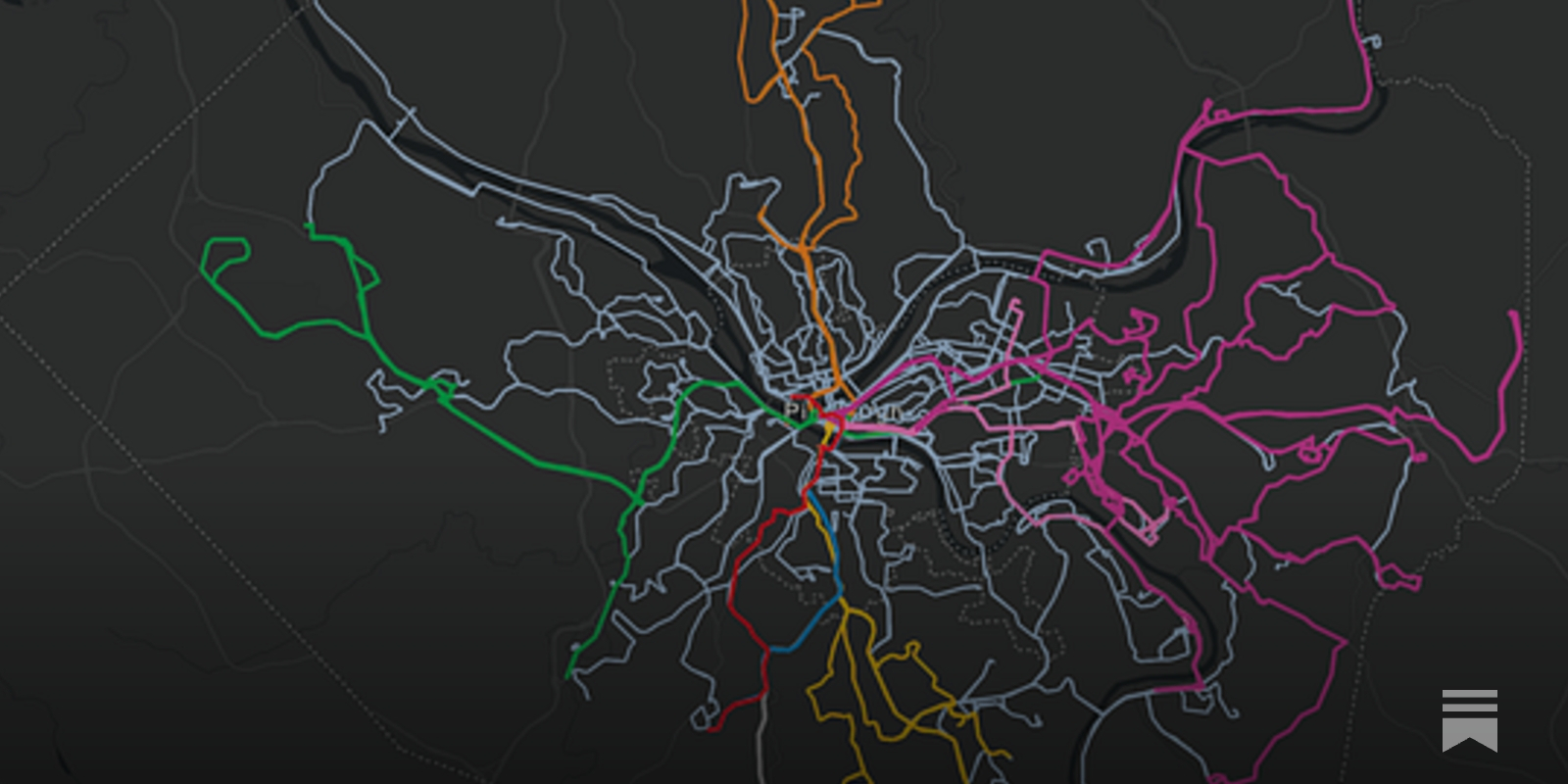
Just because a route is on the map doesn’t mean that it’s useful.
Transit System Route Map, 1979

The Enshittification of Google Maps
Hi friends, Almost every time I drive down the West Side Highway in New York City, Google Maps tells me to get off at the ship terminal – even though I am...

Yohan on Twitter / X
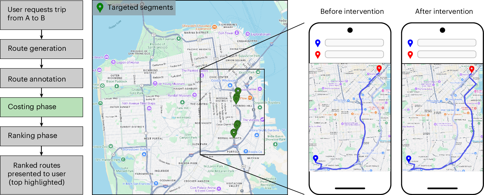
For six months, Google Maps sent a slice of drivers in ten American cities down deliberately slower routes.About 30 seconds slower on average, and under 2% of trips were touched. The experiment ran on roughly 100 of the most congested road segments in each city, switching on… pic.twitter.com/5cshNdmWU2— Yohan (@yohaniddawela) August 28, 2026

Reinventing Explanation
The Babylonian Map of the World is one of the world's oldest extant maps, dating to 600 BCE. It's a crude map, difficult to read at a glance, but fortunately an accompanying cuneiform text describes the features on the map, including Babylon, seven other cities, a canal, and a mountain: Modern maps are, of course, far better than this early map. They improve on it by taking advantage of the many map-making techniques developed since 600 BCE, such as: surveying to get proportions correct; projections to correct for the curvature of the Earth; methods to depict topographic features; and so on. Even ideas such as showing roads and nautical routes were not a priori obvious, but had to be invented.
Urban congestion relief experiments through routing-app interventions
Traffic congestion remains a persistent challenge for urban mobility, increasing travel delays and elevating CO2 emissions. The widespread use of smartphones and GPS navigation creates new opportunities to mitigate congestion through routing optimizations in apps, yet real-world evidence for the effectiveness of such interventions is limited. Here we report large-scale empirical experiments evaluating routing-based traffic interventions on ~100 highly congested road segments across 10 major US cities. By rerouting a small share of Google Maps trips from targeted congested highway and arterial segments to less congested alternatives of equivalent road-classes with comparable travel times, we observe a city-average 2% increase in vehicle speeds on the intervened segments, along with improved travel times 0.7% and potential annual reductions exceeding 1,000 tons of CO2-equivalent emissions per city in the majority of studied locations. These findings provide evidence that marginal routing interventions involving a small proportion of vehicles can measurably enhance overall road network efficiency, offering a practical pathway to easing congestion and advancing urban sustainability.
Good practice - OpenStreetMap Wiki
OpenStreetMap is a free project done by volunteers. Anybody can enter anything they wish. That said, a map works best when participants agree on a code of conduct. These "Good Practices" are guidelines that will increase the quality and value of our map data without any additional effort. Nobody is forced to obey them. There might be cases where these guidelines don't apply or even contradict each other.
Hiking by Transit
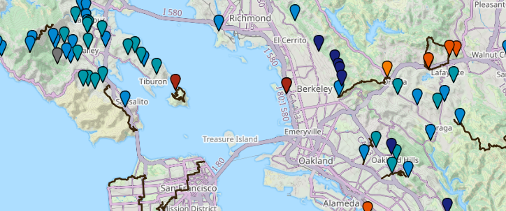
Transit-accessible hikes, parks, and trailheads across California.
Designing a wayfinding concept for Vancouver's Skytrain system.
I wasn’t always a big fan of public transport.

Network science reveals the structure and lasting impact of the Roman road system
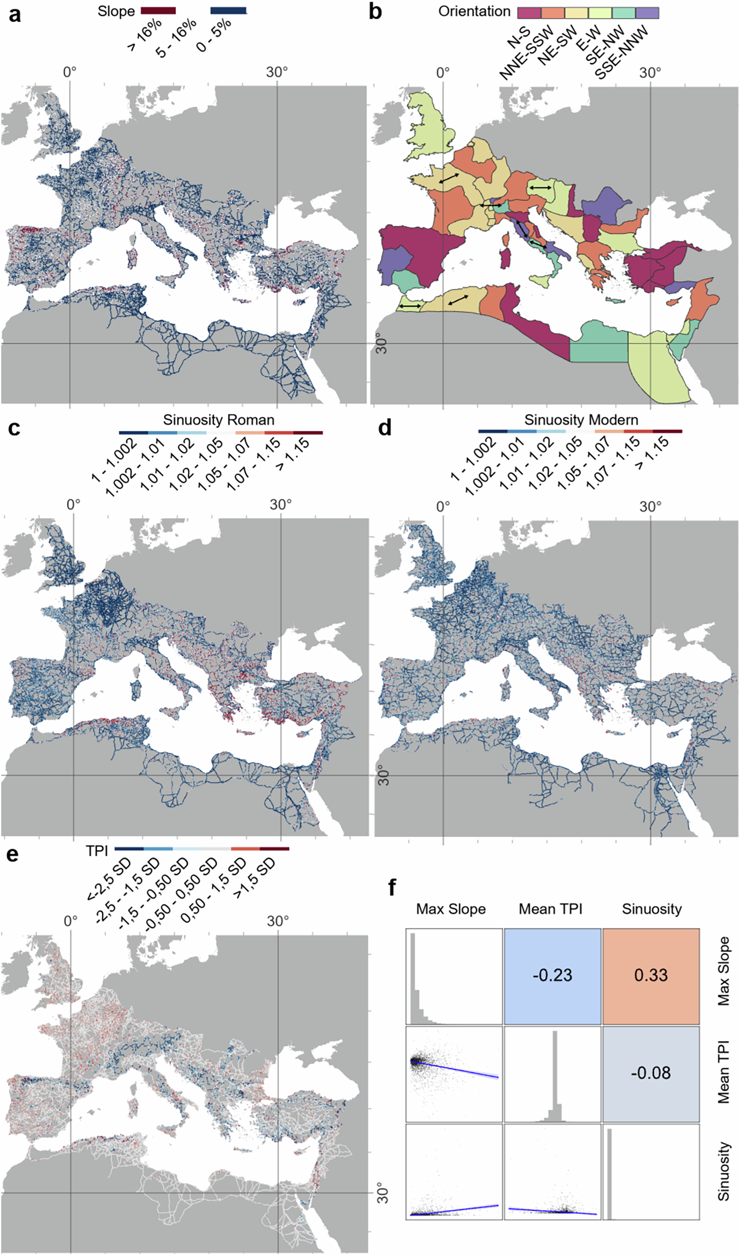
Ancient infrastructure can leave lasting imprints on modern settlement patterns and mobility. The Roman road network connected vast regions of Europe, North Africa, and the Middle East, and is often mentioned as an example of such long-term impact. Yet its structural characteristics remain largely unquantified. Here we present a high spatial resolution quantitative exploratory analysis of the Roman Empire’s road system, enabled by our creation of a spatially detailed Empire-wide dataset. We address long-standing questions concerning the straightness and persistence of these roads, and the centrality of cities like Rome. We show that Roman roads tend to be straight where topography allows but less so than modern roads; provincial capitals were more centrally located than other cities for mediating terrestrial mobility; segments hypothesised to be main roads were more important intermediaries than secondary roads; and Roman road density correlates with major modern roads.
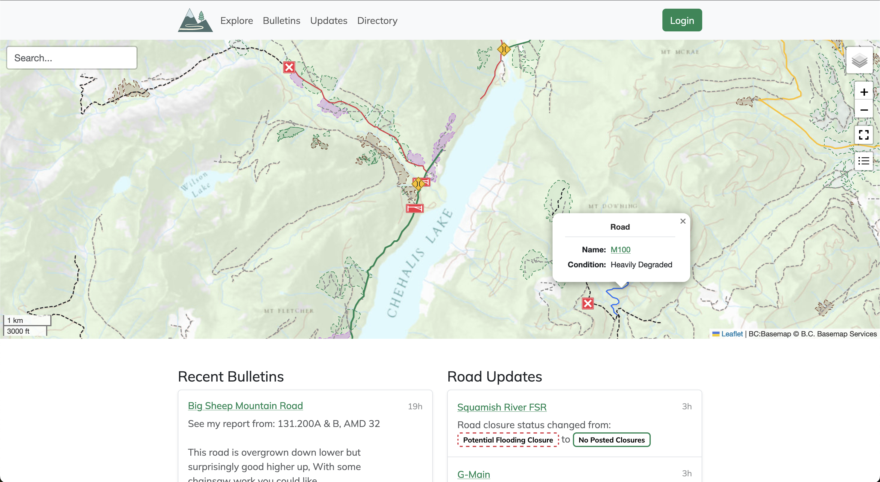
Service Road Atlas
Service roads are an integral part of accessing the wilderness, but they're constantly changing over time. Use the Service Road Atlas to find the latest community driven updates on the roads you wish to access.
A cartographer posits that our maps should be messier. “The ...
A cartographer posits that our maps should be messier. “The idea that we must have a crisp line dividing one country from another is often inaccurate when it co
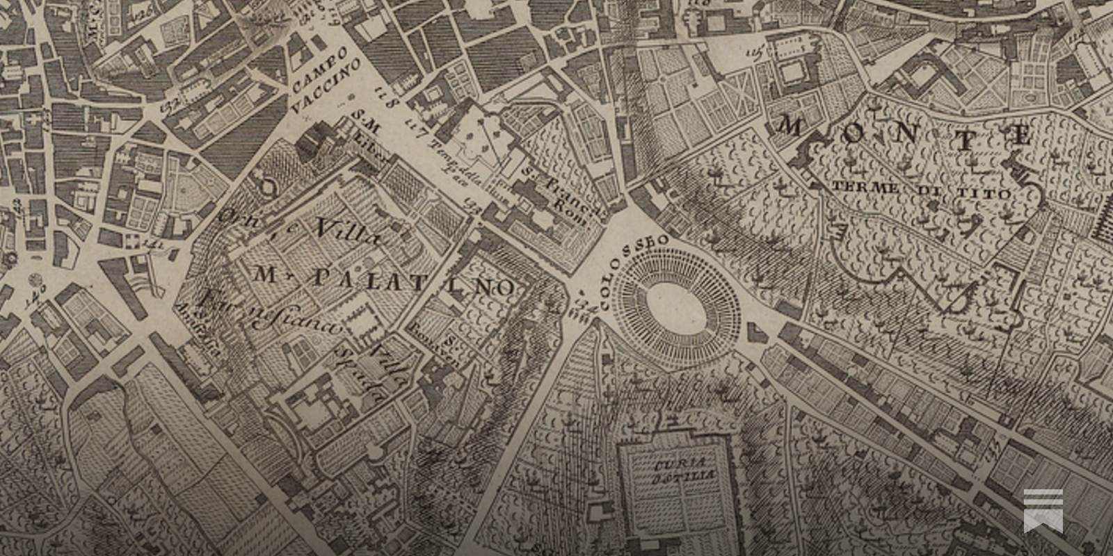
Toward Wayfinding Infrastructure for the Living Web · Atlas Research Group
Our world is getting crazier by the day. Our old maps and compasses weren’t made for this complexity. While new tools may open up amazing possibilities, they also make it easier to lose ourselves – especially when they don’t belong to us, and make us vulnerable to other people’s hidden choices and unsavory intentions about what is worth attending to.

A Beginner’s Guide to Scientific Roadmapping
Wonderful maps and how to read them

A Modest Proposal for Funding Transit Instead of AI
In the ’60s, the Bay Area almost got a high-speed train from Marin to San Jose. What could happen if we dreamed big again?

FacilMap
A fully-featured OpenStreetMap-based map where markers and lines can be added with live collaboration.