

Satellite images of sand dunes migrating in Egypt. They move about 13 meters a year.
Photos-Miracle in the desert: Entire, intact ancient city hidden in Egypt uncovered - Egypt Independent
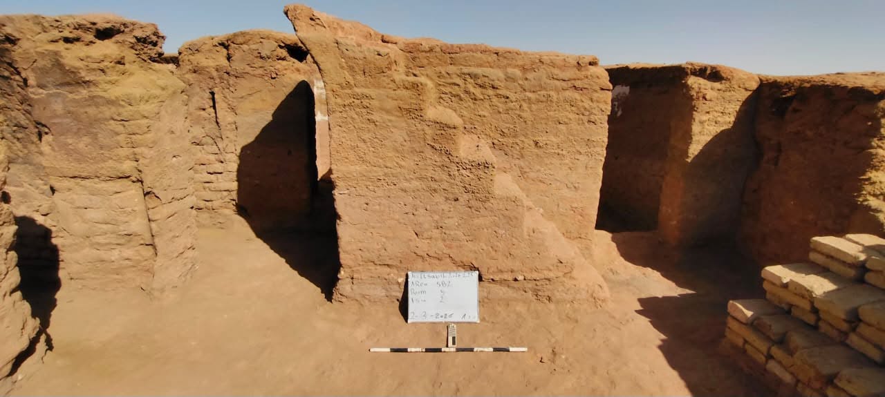
Deep within Egypt’s Western Desert, the sands of the Dakhla Oasis have just surrendered a remarkably preserved secret. An Egyptian archaeological mission has discovered an entire, intact residential city dating back to the Byzantine era. Constructed entirely of mud brick at the Ain El-Sabeel site, the sprawling settlement offers a rare, cinematic window into what …

The World Is Running Out of Sand
It’s one of our most widely used natural resources, but it’s scarcer than you think.

Ancient lost city discovered beneath Egypt's desert
A remarkably well preserved 1,600-year-old city complete with a church, watchtowers and bustling streets has been unearthed beneath Egypt's Western Desert.

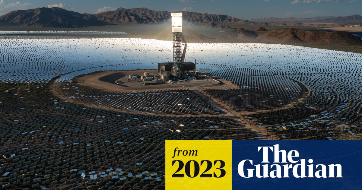
How solar farms took over the California desert: ‘An oasis has become a dead sea’
Residents feel trapped and choked by dust, while experts warn environmental damage is ‘solving one problem by creating others’
Sands of Time
Chip away at blocks of stone to make grains of sand for harnessing the power of time!
Terraforming Singapore
Illegal sand mining is reaching crisis levels in Southeast Asia. Can Singapore rethink its reliance on sand for land reclamation and development?

What is the Ukrainian anti-drone system Sky Map being used in the Gulf?
Ukraine’s battle-tested system uses thousands of acoustic sensors and interceptors to find and destroy incoming drones.

Earth's Magnetic North Pole Has Officially Moved
Earth's magnetic north pole has drifted so fast that authorities have had to officially redefine the location of the magnetic north pole. The extreme wandering of the north pole caused increasing concerns over navigation, especially in high latitudes.

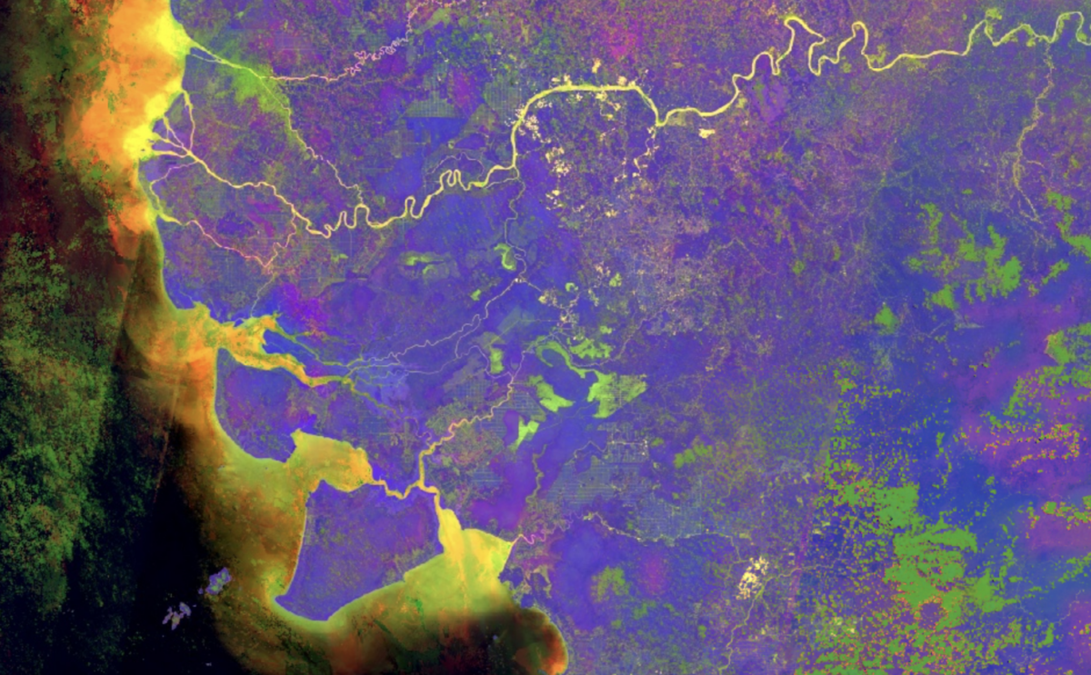
A Beginner’s Guide to Seeing More With Satellite Imagery
Multispectral satellite images can reveal useful information about the world, such as mining activity and changes in vegetation.
sefalab/Spatial_Project
Using satellite images and computer vision to study the evolution and effects of spatial apartheid in South Africa.
Ein Preis kann nur der Anfang sein
Nachschlag zum Alternativen Medienpreis 2026 und ein kurzes Interview zu „Fundamente aus Sand”

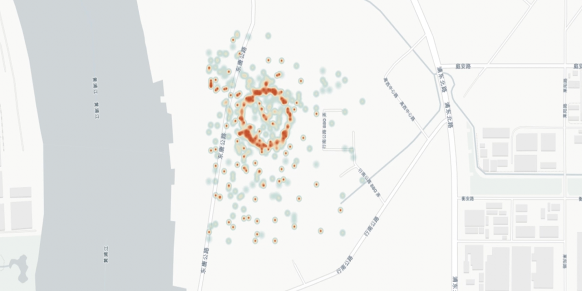
Ghost ships, crop circles, and soft gold: A GPS mystery in Shanghai
A sophisticated new electronic warfare system is being used at the world’s busiest port. But is it sand thieves or the Chinese state behind it?
The drones being used in Sudan: 1,000 attacks since April 2023
A visual analysis into the types of drones, sourcing methods, attack locations and the human toll of aerial warfare.

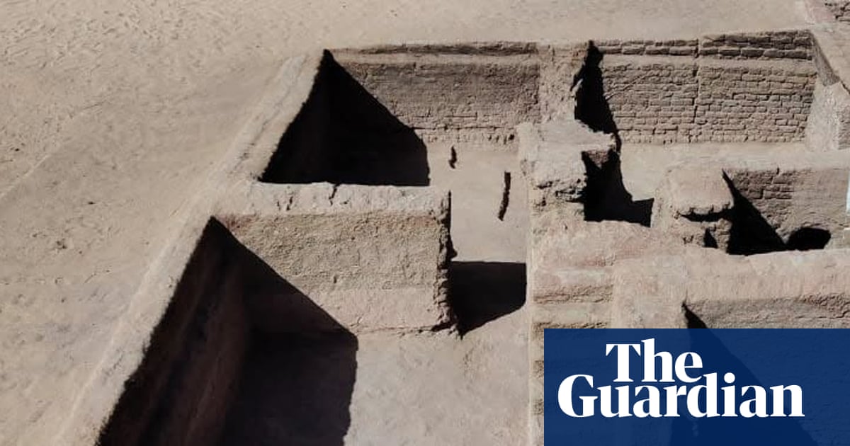
Archaeologists uncover ancient Byzantine city in Egypt’s western desert
Well-preserved fourth-century quarters reveal details of daily life, urban development and economic activities
Google Earth's new AI feature lets anyone fabricate inaccurate satellite imagery, from making it look like a place has been drone striked to manifesting a nuclear plant in Iran. What could go wrong? @evystadium.bsky.social has more. Story @josephcox.bsky.social: 404media.co/google-earths-new-ai-lets-any…
