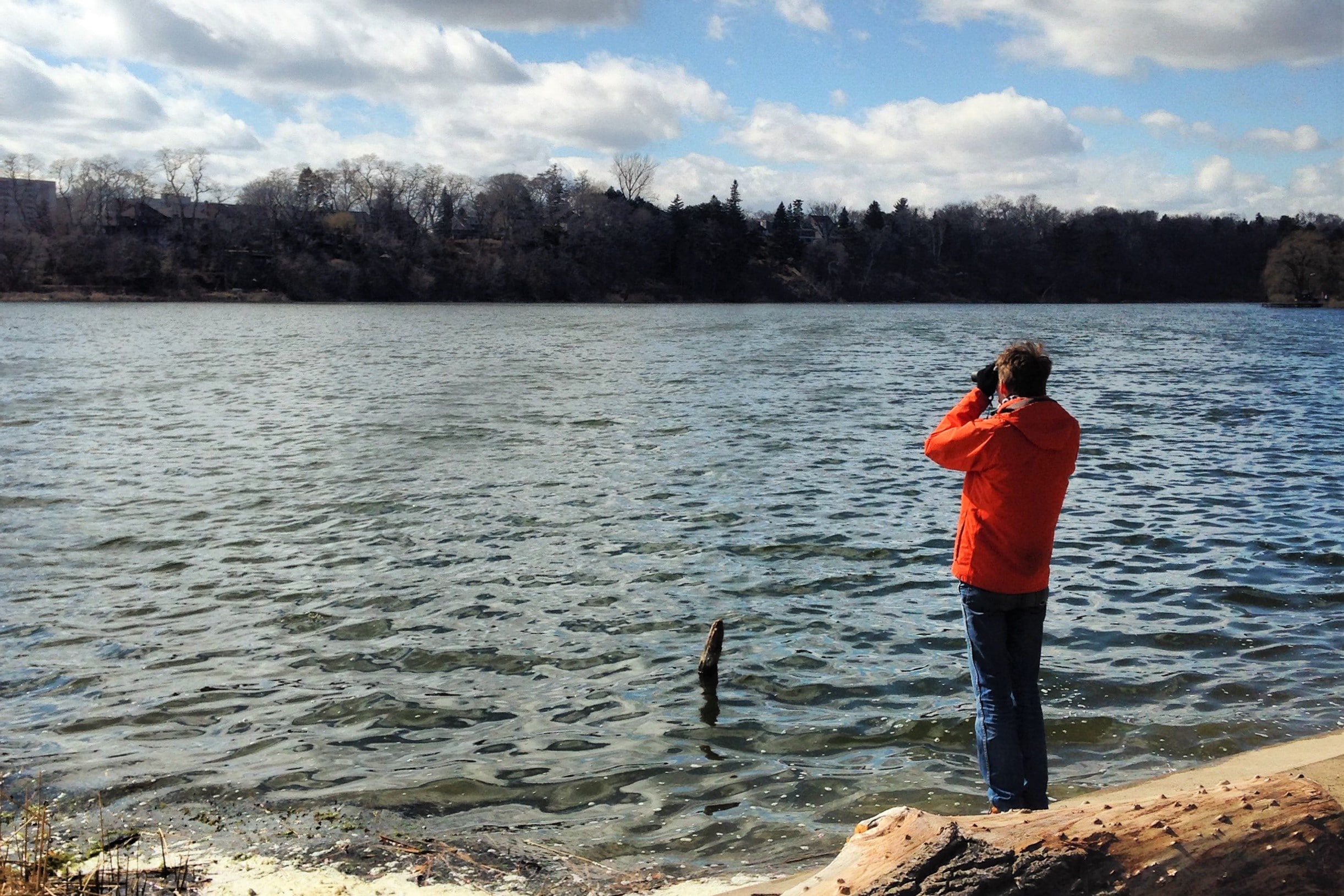
Imagery Update After a summer and fall of taking 360 imagery of bike lanes, I finished capturing street-level imagery of all the protected bike lanes in the City’s dataset. The last segment on November 8 was the final part of the new Harbord St bike lanes E of Grace St. So far, I’ve captured over…
Taking imagery of bike lanes at risk and using it to help fix bike parking
We took street-level imagery on Bloor St, Yonge St, University Ave, Queen’s Park Cres, and Avenue Rd to create a digital record of bike lanes at risk from Ontario Bill 212 and to help analyze…

Taking imagery of bike lanes at risk and using it to help fix bike parking
We took street-level imagery on Bloor St, Yonge St, University Ave, Queen’s Park Cres, and Avenue Rd to create a digital record of bike lanes at risk from Ontario Bill 212 and to help analyze and improve bike parking
Cycling Toward a Cooler Toronto | The Power of Bike Lanes
Dissecting Doug Ford’s Bike Lane Removal Annoucement
A blog about cycling and political advocacy based in Toronto, Canada. (#BikeTO)

Intranational International Boulevard: A Street's Atlas - Oakland - LocalWiki
The Intranational International Boulevard: A Street's Atlas is a cool mapping project done by students in the UC Berkeley’s Cartography and GIS Education (CAGE) Lab. It maps International Blvd. in a variety of hyper-local ways.
We Were Wrong About Sharrows | PeopleForBikes
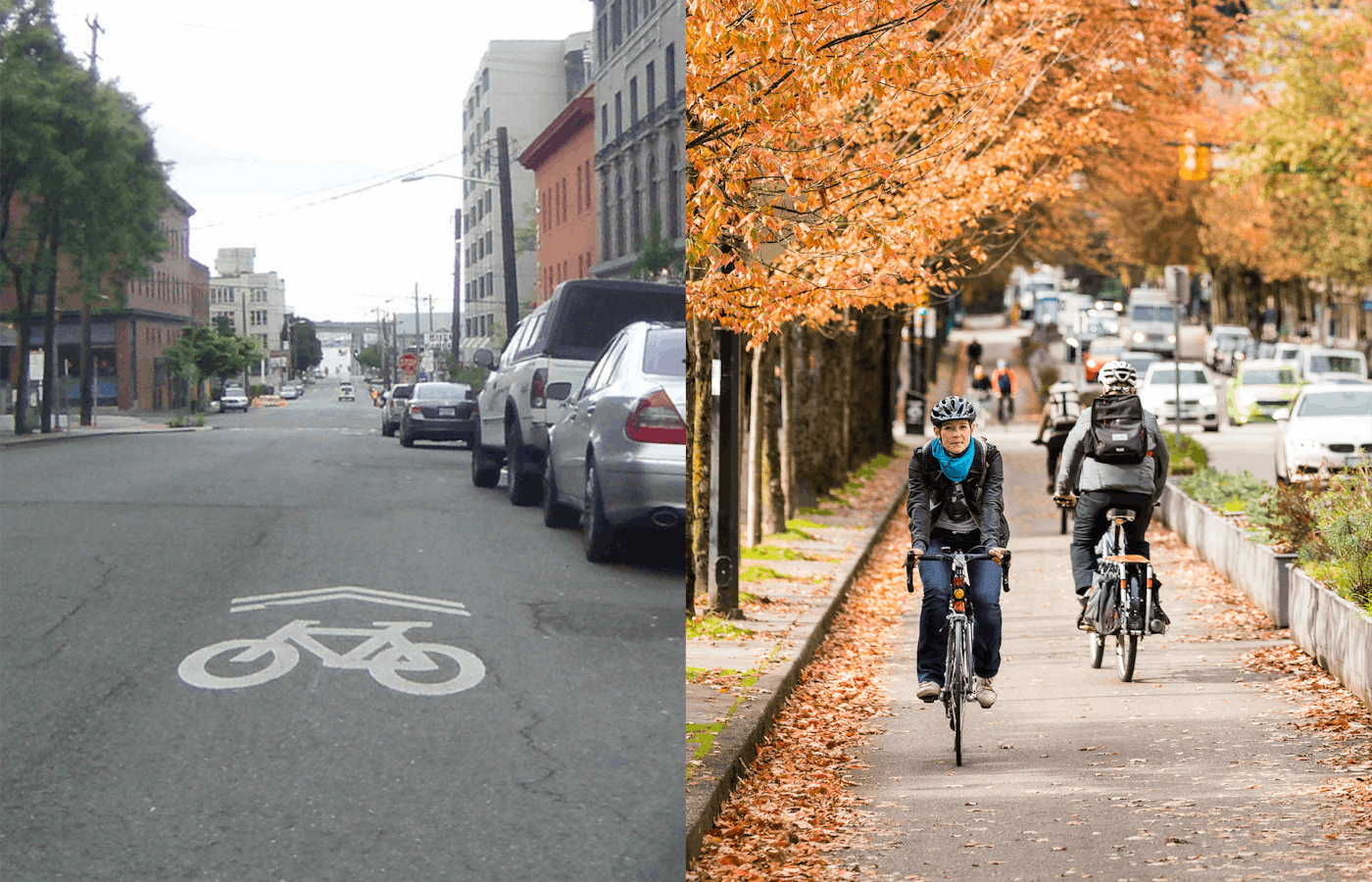
It was the late 1990s and I thought we were so clever. We had just convinced the San Francisco Department of Parking and Traffic to incorporate an innovative new design into its bike plan, a bold statement conveying “bikes belong” right there in the middle of the street. I had first seen a shared-use marking, or “sharrow” — a white bicycle painted directly on asphalt — in photos of Paris and Chicago, put there to help bicyclists get through intersections by indicating their path of travel. In 1993, James McKay, a bike planner in Denver, used it on a trial basis to emphasize a bicyclist’s right to ride in the middle of the lane.
Marking One Year Since Cycle Toronto’s Court Victory
A blog about cycling and political advocacy based in Toronto, Canada. (#BikeTO)
World Cup City Tour: Toronto on a Brompton
Street-level imagery: licensing challenges and benefits of recording from a bike instead of a vehicle
In the previous post, I talked about collecting street-level imagery while biking using a helmet-mounted camera and sharing it via services that are open license. In this post, I’ll dig deeper on two related questions. First, why is it important to use open license services instead of Google Street View? Second, what are the advantages…
Bikespace
Civic Tech Toronto is a vibrant and diverse community of Torontonians engaged in understanding and creating solutions for civic challenges through technology, design, and other innovative means.
Motorists in one of a Montreal’s busiest boroughs support bike lanes
There are real tensions between cyclists, motorists and pedestrians sharing the road, but Montrealers believe traffic-calming measures — bike lanes, speed humps and curb extensions — can improve safety for all road users.

Panoramax BikeSpace
Panoramax is a digital resource for sharing and using field photos. Anyone can take photographs of places visible from public roads and contribute them to the Panoramax database.

Bike Routes to Look Forward To | Offprint
A hopeful view toward the future of biking in the Bay

How To Do Abstract Street Photography Like Saul Leiter
David Hawkins-Weeks
Photography, cycling & coffee 🌍 https://www.hawkins-weeks.com/ ✳️ https://linktr.ee/davidhawkinsweeks

About Grin - About Us
Based in Vancouver BC, Canada, we are a team of electric bike enthusiasts eager to change the face of modern transportation...