

I have a side project to find the longest line of sight on the planet1 using a novel Total Viewshed algorithm. At a resolution of 3 arc-seconds (~92m x 92m), the planet contains around 4.5 billion elevation samples2. Now obviously we don’t need to calculate the visibility between literally every single one of those, so how do we begin to cut it up? That’s what I’ll explore in this post.
5000 Feet is the Best
5000 FEET IS THE BEST is based on two meetings with a former drone operator which were recorded in a hotel in Las Vegas in september 2010. On camera, the drone operator agreed to discuss the

How Does A Blind Model See The Earth? — LessWrong
Sometimes I'm saddened remembering that we've viewed the Earth from space. We can see it all with certainty: there's no northwest passage to search f…
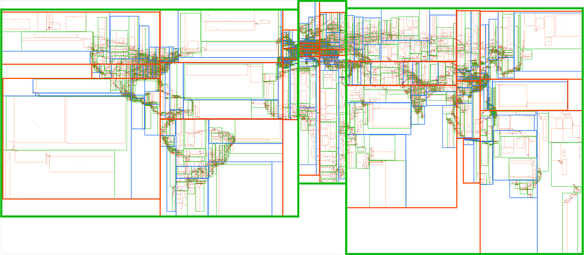
A dive into spatial search algorithms
Searching through millions of points in an instant
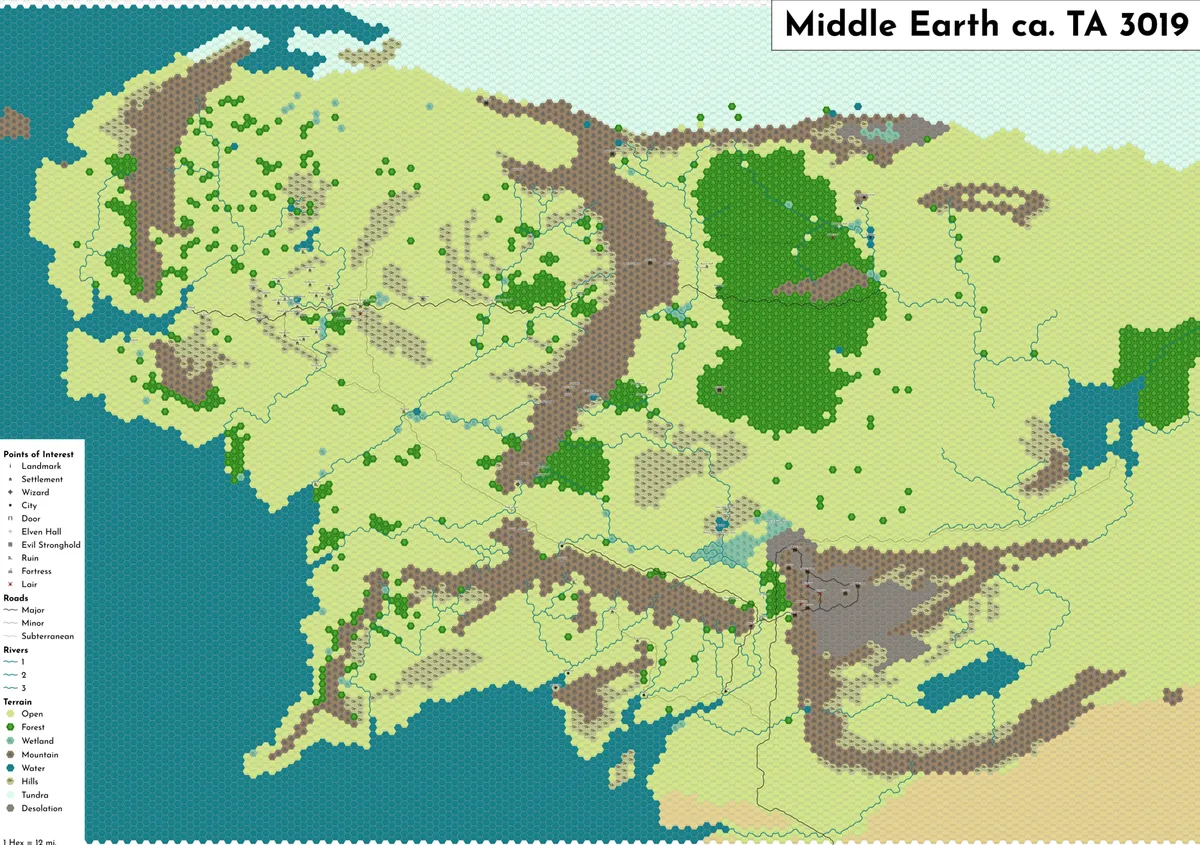
12-mile Middle Earth Hexmap
I've been re-reading the Hobbit & Lord of The Rings this year, so naturally my latest cartographic hyperfixation was to make a map of Tolkien's paracosm. ...
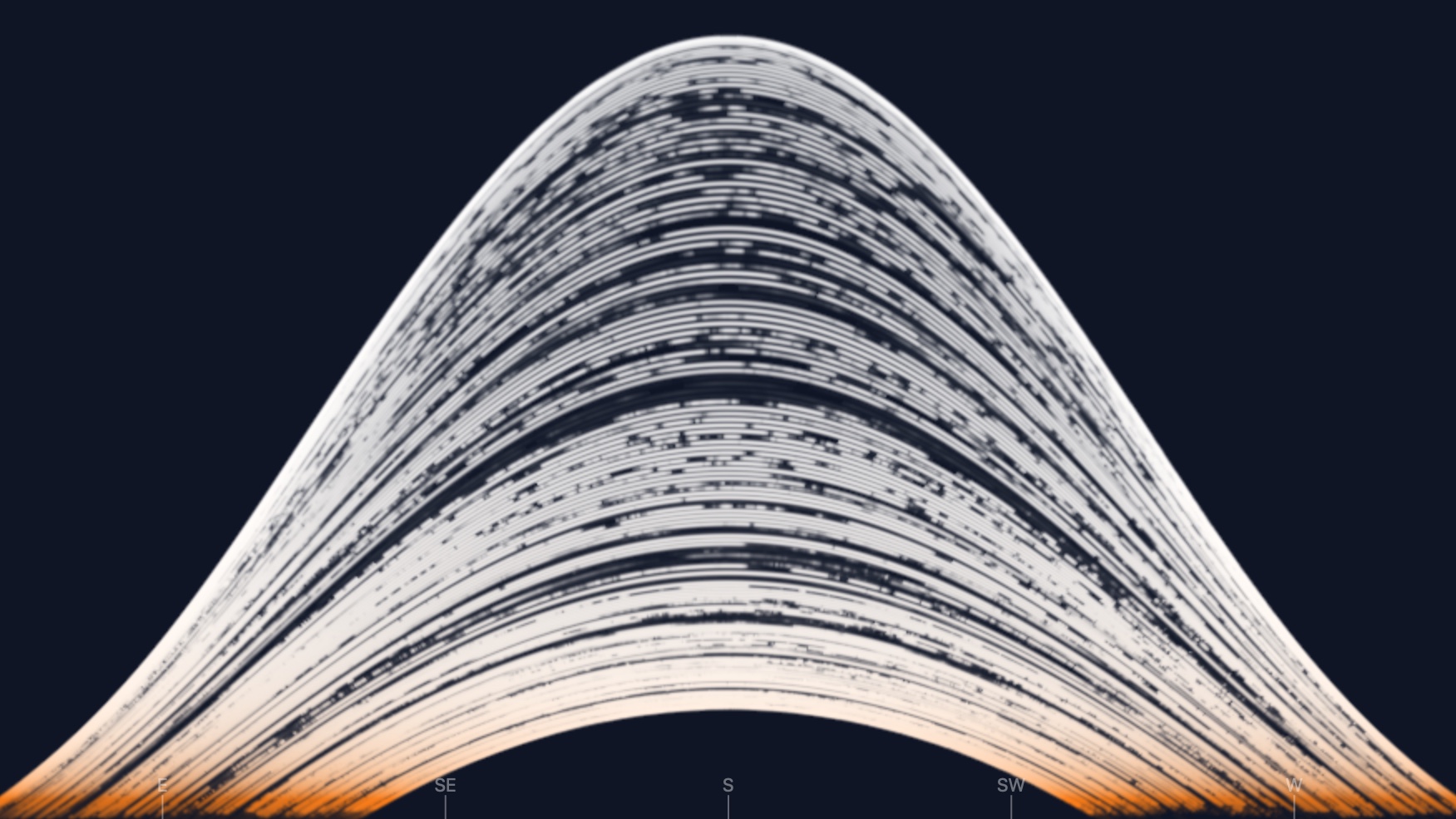
Solargraph Simulator – eagereyes
How a 6-month exposure shows the sun's path across the sky, from solstice to solstice
Evaluating and Sampling Glinty NDFs in Constant Time
Geometric features between the micro and macro scales produce an expressive family of visual effects grouped under the term 'glints'. Efficiently rendering these effects amounts to finding the highlights caused by the geometry under each pixel. To allow for fast rendering, we represent our faceted geometry as a 4D point process on an implicit multiscale grid, designed to efficiently find the facets most likely to cause a highlight. The facets' normals are generated to match a given micro-facet normal distribution such as Trowbridge-Reitz (GGX) or Beckmann, to which our model converges under increasing surface area. Our method is simple to implement, memory-and-precomputation-free, allows for importance sampling and covers a wide range of different appearances such as anisotropic as well as individually colored particles. We provide a base implementation as a standalone fragment shader.
1-bit Hokusai’s ”The Great Wave” – Hypertalking
5 years ago I started a now completely stalled project (fingers crossed I can figure out how to restart soon) to draw all of Hokusai’s 36 views of Mount Fuji as 1-bit pixel art.
A side selective line simplification algorithm for nautical chart generalization
Depth contours are essential chart features, portraying seabed morphology and delineating the depth areas used by navigation systems to assess route safety and trigger alarms. Their portrayal must ...

The Glimmer — thefugue.space
A brief history of my attempts to bring Spatial Computing to the wider audience..

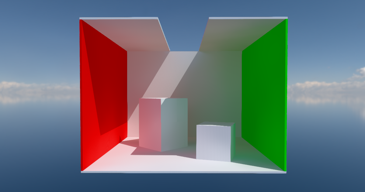
Surfel-based global illumination on the web
Can we use WebGPU to compute real-time global illumination with surface patches called surfels? Does it look good enough? Is it fast enough? And can we finally construct viable compute-heavy rendering pipelines right here on the open web? Join me on this journey and let's find out!
Timothy Gowers @wtgowers on Twitter / X
AI has now solved a major open problem -- one of the best known Erdos problems called the unit distance problem, one of Erdos's favourite questions and one that many mathematicians had tried.https://t.co/SD1vVPkrHR— Timothy Gowers @wtgowers (@wtgowers) May 20, 2026

TESSERA: Precomputed FAIR Global Pixel Embeddings for Earth...
Petabytes of satellite Earth Observation (EO) data are freely available and can address critical global challenges. However, EO data quality is poor due to clouds and variable lighting conditions....

A guide to fast voxel ray tracing using sparse 64-trees
If you have ever tried to ray trace voxels before, you might have heard about Sparse Voxel Octrees. They are one of those ideas that are just simple and clever enough to be intriguing, but not so great to hold in practice at the basic premise.
Event Cameras: a New Way of Sensing - Davide Scaramuzza - ICCP 2024 Keynote