

Snapshots throughout the seasons.
Dark Forestry | Henry From Online
Seasons are changing for technologists, and the industry we work in isn't the same as it was a decade ago. We have new realities and new responsibilities to accept.

Public trees
The public tree dataset includes a listing of public trees on boulevards and public trees in parks, in the City of Vancouver and provides data on tree coordinates, species and other related characteristics. Private trees are not included in the inventory.Tree records that do not have coordinates data will not show up in the list. Data currencyThe dataset refreshes daily on weekdays. Tree attributes are updated on a regular basis but it may be several years between updates for some attributes. Priorities and resources determine how fast a change in reality is reflected in the data. The coordinates were originally provided by the 2016 Geospatial Data for City of Vancouver Street Trees project. Data accuracyTree attributes are updated on a regular basis but it may be several years for some attributes. Note: 0 value in latitude and longitude fields mean there is no related information available Websites for further informationStreet Tree BylawCity trees
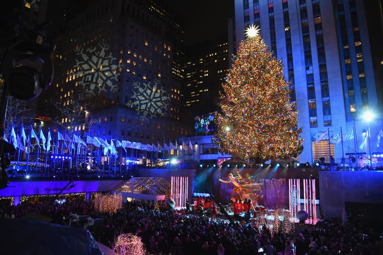
The Christmas Tree Is One of the World's Oldest and Most Evergreen Traditions
Long before your living room's seasonal centerpiece, cultures around the world marked the darkest time of year with palms, pines, and other greenery.
TreeKIT: Measuring, Mapping, and Collaboratively Managing Urban Forests
As cities across the United States expand their stock of street trees to address a range of environmental sustainability goals, municipal foresters are increasingly turning to volunteers to supplement their tree care efforts. TreeKIT is a small non-profit organization that helps city dwellers collaboratively measure, map, and manage urban forests. Using TreeKIT’s mapping methods, volunteers are able to create spatially accurate inventories of street trees. In the process, volunteers learn to identify street trees and develop an effective appreciation for their local urban forest. The following article describes the TreeKIT mapping methods and ongoing efforts to scale these techniques for large, synchronous street tree census initiatives.
tree.fm – Tune Into Forests From Around The World 🌳🔈
People around the world recorded the sounds of their forests, so you can escape into nature, while in lockdown or unable to travel. Use this site to chill, meditate or do some digital shinrin-yoku.

Crown shyness: are trees social distancing too? | Natural History Museum
If you look up in some forests, you might notice conspicuous gaps between the trees' branches. © Pongpawan Sethanant/ Shutterstock
Protect our Living Legends - Woodland Trust
Many of our oldest and most special trees are not legally protected. Urge Government to change the law and prevent further tragedy.

The SQLite R*Tree Module
An R-Tree is a special index that is designed for doing range queries. R-Trees are most commonly used in geospatial systems where each entry is a rectangle with minimum and maximum X and Y coordinates. Given a query rectangle, an R-Tree is able to quickly find all entries that are contained within the query rectangle or which overlap the query rectangle. This idea is easily extended to three dimensions for use in CAD systems. R-Trees also find use in time-domain range look-ups. For example, suppose a database records the starting and ending times for a large number of events. A R-Tree is able to quickly find all events that were active at any time during a given time interval, or all events that started during a particular time interval, or all events that both started and ended within a given time interval. And so forth.
2000 Trees Festival 2026: The Review - Wednesday and Thursday - Noizze UK
Our reviews of Friday & Saturday to come soon…

Thinning
This page highlight research produced in British lumbia focused on tree thinnning as it relates to forestry practices.
Pacific kelp forests are far older than we thought - Berkeley News
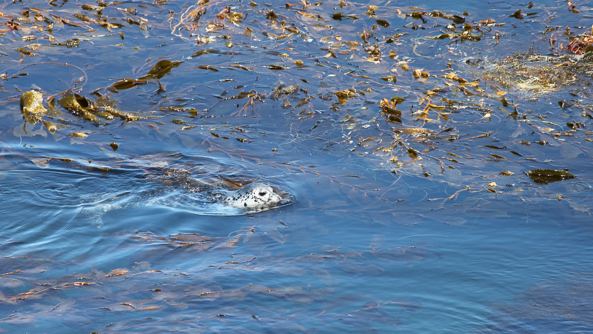
The unique underwater kelp forests that line the Pacific Coast support a varied ecosystem that was thought to have evolved along with the kelp over the past 14 million years. But a new study shows that kelp flourished off the Northwest Coast more than 32 million years ago, long before the appearance of modern groups […]
Nate on Twitter / X
OSTP just released 'Science: A New Golden Age' — 72 pages modeled on Vannevar Bush's 1945 report. I read the whole thing. It's remarkably good.The sharpest insight is on page 60. AI could do to science what fire suppression did to forests: make each individual tree safer while…— Nate (@NateWBradford) July 21, 2026
digital gardens


Good Internet

smallweb
about - pivot point - Obsidian Publish