

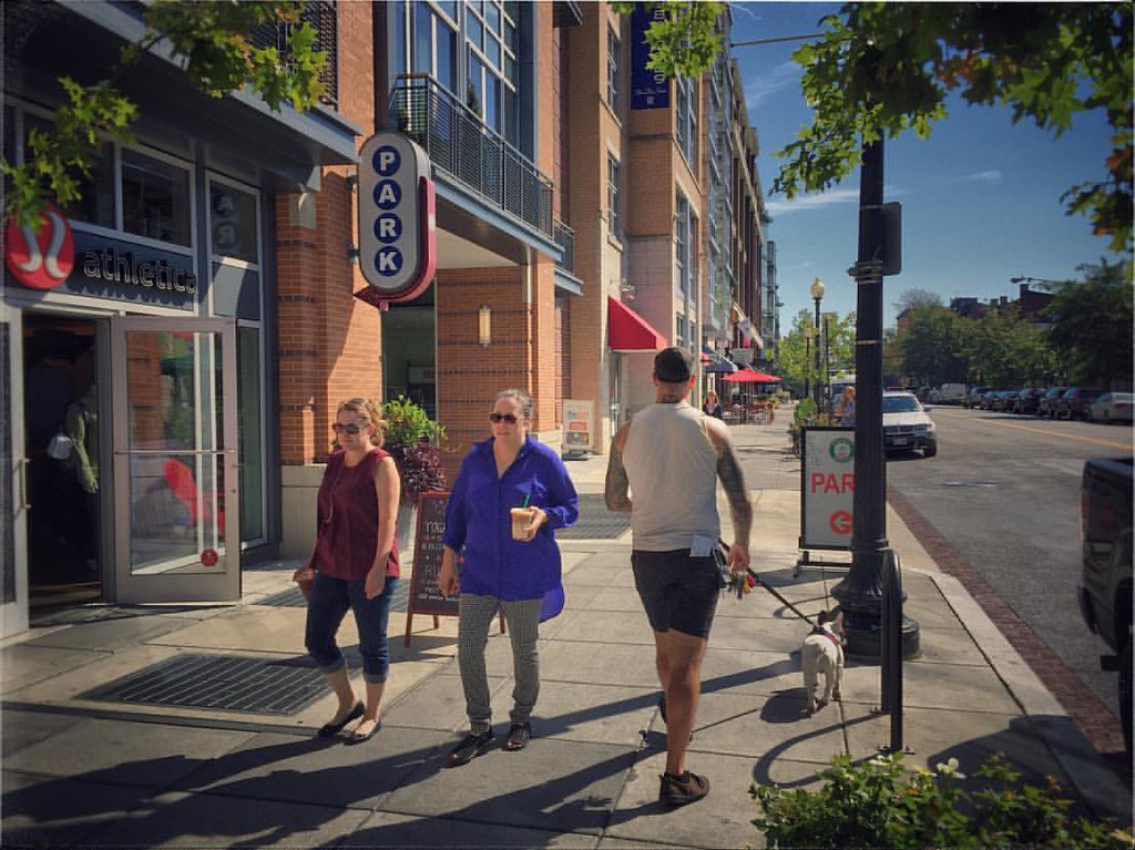
A new paper argues that the popular real estate tools is driving investment to predominantly white urban neighborhoods, without expanding walkability for anyone else.
The Artist Loft: Affordable Housing (for White People)
Do these tax-subsidized apartments perpetuate segregation by excluding some low-income households?

Exploring the social life of urban spaces through AI
We analyze changes in pedestrian behavior over a 30-y period in four urban public spaces located in New York, Boston, and Philadelphia. Building on William Whyte’s observational work, which involved manual video analysis of pedestrian behaviors, we employ computer vision and deep learning techniques to examine video footage from 1979–80 and 2008–10. Our analysis measures changes in walking speed, lingering behavior, group sizes, and group formation. We find that the average walking speed has increased by 15%, while the time spent lingering in these spaces has halved across all locations. Although the percentage of pedestrians walking alone remained relatively stable (from 67% to 68%), the frequency of group encounters declined, indicating fewer interactions in public spaces. This shift suggests that urban residents are using streets as thoroughfares rather than as social spaces, which has important implications for the role of public spaces in fostering social engagement.

Experienced Segregation
We estimate a measure of segregation, experienced isolation, that captures individuals’ exposure to diverse others in the places they visit over the course of their days. Using Global Positioning System (GPS) data collected from smartphones, we measure experienced isolation by race. We find that the isolation individuals experience is substantially lower than standard residential isolation measures would suggest, but that experienced and residential isolation are highly correlated across cities. Experienced isolation is lower relative to residential isolation in denser, wealthier, more educated cities with high levels of public transit use, and is also negatively correlated with income mobility.

Credit Access in the United States
We measure differences in US households’ access to credit and explore the mechanisms driving such differences using newly constructed population-level linked credit bureau and Census data. We find large differences in credit scores by race, class, and hometown that emerge in one’s 20s and persist throughout the life cycle. These gaps are primarily driven by differences in delinquencies that emerge in young adulthood. By age 30, 73% of Black individuals, 62% of those from low-income families, and 51% of those from Appalachia and the South have a 90+ day delinquency on their credit report, in contrast to 36% for White individuals, 20% for high-income families, and 31% for those from the upper Midwest. These delinquencies are correlated with income and wealth, but observed income profiles and wealth account for at most 10–35% of the gaps in delinquencies across groups. In contrast, movers-based estimates of hometown effects imply that childhood exposure accounts for around 50% of the differences in delinquencies across hometowns. Counties that promote repayment also promote upward income mobility, but adult income mediates only a small fraction of this relationship: growing up in a place where others are likely to repay improves credit outcomes even for those who do not have higher income in adulthood. We provide suggestive evidence on the mechanisms driving these patterns. JEL Codes: G5, H0.
Planning for isolation? The role of urban form and function in shaping mobility in Brasilia
Brasília offers a rare test of how urban form shapes experienced segregation. Built almost at once around modernist neighbourhood units, then expanded through planned satellites and informal peripheries, it lets us ask whether urban form turns mobility into mixing or into a more efficient engine of separation. We combine data on human mobility with urban morphometrics, amenities, road networks, along with enclosures and tessellations that capture segregation at the scales where access is structured: districts, neighbourhoods, blocks, and street-and-building cells. We find that segregation intensifies as resolution sharpens, from 0.282 at the district scale to 0.545 at the block scale, indicating that Brasília looks most integrated at coarse units and most segregated where everyday encounters are actually organised. Mobility softens home segregation for most users, but not symmetrically: poorer groups travel farther, while affluent groups remain the most selectively exposed. civic cores and mid-rise, mixed-use areas are the least segregated morphotypes, yet they occupy only a sliver of the metropolis. Elsewhere, rich lakefront suburbs and dense poor settlements reach similarly high segregation through opposite spatial logics. Amenities predict lower segregation, while barriers and enclosed residential interiors predict higher segregation. Built form explains more of this pattern than visit volume alone in the segregation models: integration is less a property of residential design than of shared destinations and porous connections. Planned capitals can build order without building isolation if they distribute mixing space rather than sequestering it.

TreeKIT: Measuring, Mapping, and Collaboratively Managing Urban Forests
As cities across the United States expand their stock of street trees to address a range of environmental sustainability goals, municipal foresters are increasingly turning to volunteers to supplement their tree care efforts. TreeKIT is a small non-profit organization that helps city dwellers collaboratively measure, map, and manage urban forests. Using TreeKIT’s mapping methods, volunteers are able to create spatially accurate inventories of street trees. In the process, volunteers learn to identify street trees and develop an effective appreciation for their local urban forest. The following article describes the TreeKIT mapping methods and ongoing efforts to scale these techniques for large, synchronous street tree census initiatives.
Housing ladder spillovers
Rich newcomers can raise low-end rents, and adding high-end homes can lower them
We Regulate the Wrong Things
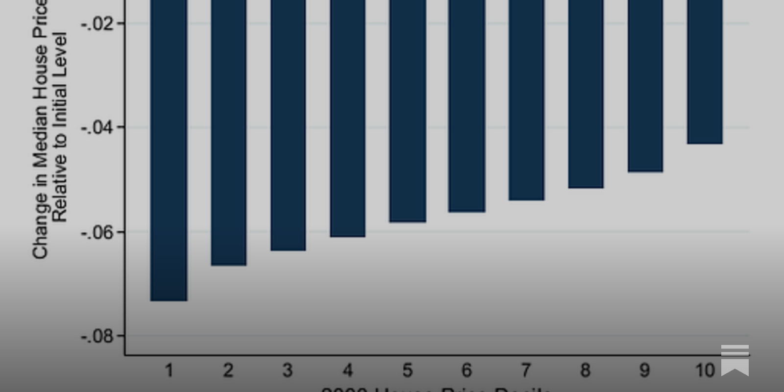
Most cities’ zoning and development regulations obsess over things that are easy to measure, like building height and density, at the expense of the things that actually determine whether we’re building quality places.

Somebody Blew up Oakland: Dispossession as a Praxis of Racial Ordering
Author(s): Jones, Stephanie Delise | Advisor(s): Hironaka, Ann; Sojoyner, Damien | Abstract: In this dissertation, I investigate the relationship between underdevelopment and Black geographies. I then explore the consequences of this relationship on the city of Oakland. From 2019 to 2021, I conducted 68 in-depth field interviews of Black Oakland residents who detailed the processes and mechanisms by which California housing policy contributed to the displacement of Black subjects. Building on the work of scholars of Black geographies, I have interrogated the myth of development and the relationship to the dispossession of Black geographies. I theorize how racial capitalism produces vulnerable populations through housing in urban areas. The empirical contribution of my research is to provide a framework for Black geographies as people are being displaced. The theoretical contribution is to provide a conceptualization for Black geographies existing through abjections and placelessness as understood through residents of Oakland.I argue that the relationship between dispossession and refusal creates a distinct politic. In chapter two, I theorize the work of Moms for Housing to further understand Black knowledges of resistance to dispossession. Moms for Housing is used as a case study to highlight the many theoretical implications of dispossession occurring in Oakland. In chapter 3, I use two interviews from developers to demonstrate the contradictions in what I call the mythology of development. In chapter 4, I walk through the geographic stories of 2nd and 3rd generation Oakland residents and demonstrate each of the ways they feel locked out of the city as a result of the urban changes. In chapter 5, I demonstrate how communities resist dispossession and disposability. The city of Oakland lacks proactive implementation of equitable housing policy. The lack of action by the city of Oakland puts the onus on everyday residents to organize against their landlords, employers and the state.

NAACP Unveils Blueprint for Building Black Wealth
The NAACP's new roadmap aims to help Black families build assets, close the racial wealth gap and create generational wealth.

NAACP Unveils Blueprint for Building Black Wealth
The NAACP's new roadmap aims to help Black families build assets, close the racial wealth gap and create generational wealth.
Third Places and Neighborhood Entrepreneurship: Evidence from Starbucks Cafés
Sociologists have shown that “third places” such as neighborhood cafés help people maintain and use their network ties. Do they help local entrepreneurs, for whom networks are important? We examine whether the introduction of Starbucks cafés into U.S. neighborhoods with no coffee shops increased entrepreneurship. When compared to census tracts that were scheduled to receive a Starbucks but did not get one, tracts that received a Starbucks saw an increase in the number of startups of 9.1% to 22.5% (or 2.9 to 6.4 firms) per year, over the subsequent 7 years. A partnership between Starbucks and Magic Johnson focused on underprivileged neighborhoods produced larger effects. Analyses suggest a networks mechanism is at play.
Communities are not fungible
There's a default assumption baked into how Silicon Valley builds products, and it tracks against how urban planners redesign neighbourhoods: that communities are interchangeable, and if you "lose" one, you can manufacture a replacement; that the value of a group of people who share space and history can be captured

Opinion | One City Might Have Just Cracked the Housing Crisis
A large real estate development in the middle of Vancouver, British Columbia, shows how cities can build more housing.

A City for Children — Oakland Public Library
A City for Children — Gutman, Marta, — American cities are constantly being built and rebuilt, resulting in ever-changing skylines and neighborhoods. While the dynamic urban landscapes of New York, Boston, and Chicago have been widely studied, there is much to be gleaned from West Coast cities, especially in California, where the migration boom at the end of the nineteenth century permanently changed the urban fabric of these newly diverse, plural metropolises. In A City for Children Marta Gutman focuses on the use and reuse of everyday buildings in Oakland, California, to make the city a better place for children. She introduces us to the women who were determined to mitigate the burdens placed on working-class families by an indifferent industrial capitalist economy. Often without the financial means to build from scratch, women did not tend to conceive of urban land as a blank slate to be wiped clean for development. Gutman shows how, over and over, women instead turned private houses and even a saloon in Oakland into orphanages, kindergartens, settlement houses, and day care centers, and in the process built the charitable landscape--a network of places that was critical for the betterment of children, families, and public life. The industrial landscape of Oakland, riddled with the effects of social inequality and racial prejudice, is not a neutral backdrop in Gutman's story but an active player. Spanning one hundred years of history, A City for Children provides a compelling model for building urban institutions, and it demonstrates that children, women, charity, and reform, along with incremental construction, renovations, alterations, additions, and repurposed structures, are central to the understanding of modern cities.
Telegraph Avenue by Michael Chabon | East Bay Booksellers
New York Times Bestseller“A genuinely moving story about race and class, parenting and marriage. . . Chabon is inarguably one of the greatest prose stylists of all time.