

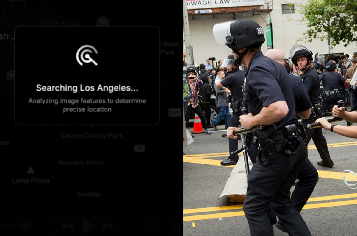
Emails obtained by 404 Media show the LAPD was interested in GeoSpy, an AI tool that can quickly figure out where a photo was taken.
Cops Are Buying ‘GeoSpy’, an AI That Geolocates Photos in Seconds
404 Media has obtained a cache of internal police emails showing at least two agencies have bought access to GeoSpy, an AI tool that analyzes architecture, soil, and other features to near instantly geolocate photos.
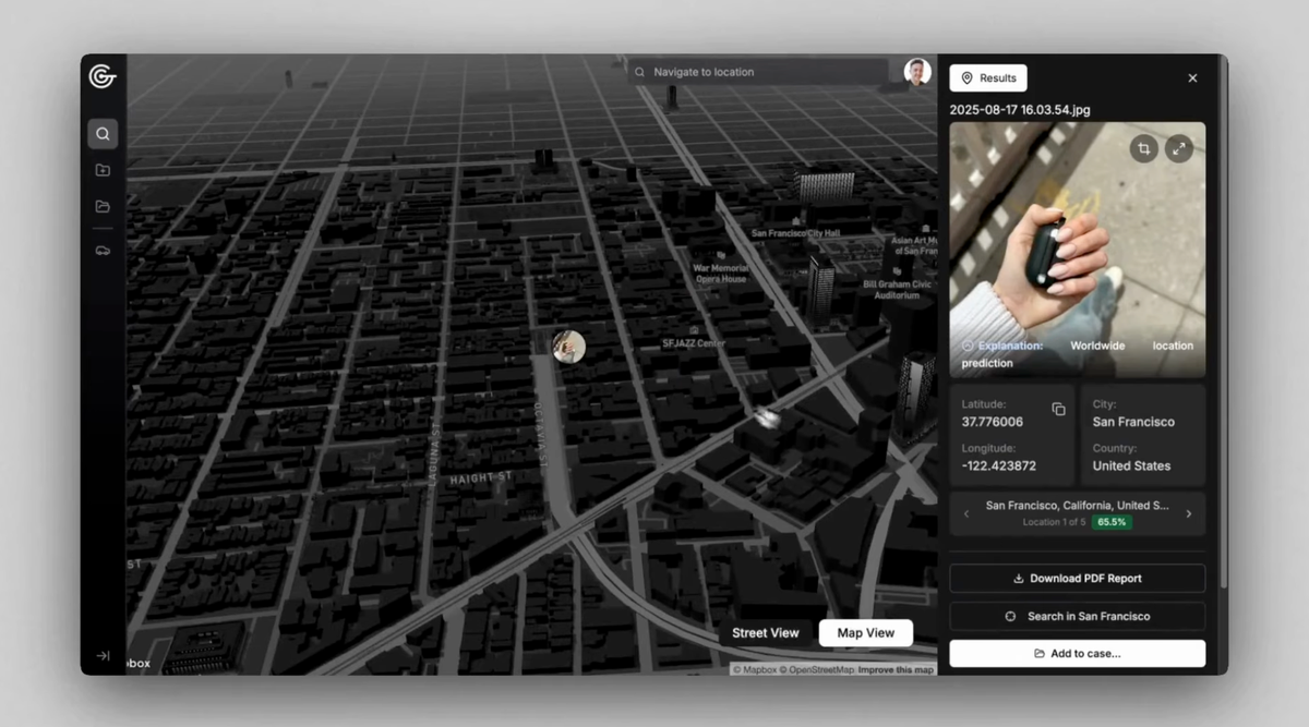
The Powerful AI Tool That Cops (or Stalkers) Can Use to Geolocate Photos in Seconds
For months members of the public have been using GeoSpy, a tool trained on millions of images that can find the location a photo was taken based on soil, architecture, and more. It's GeoGuesser at scale.
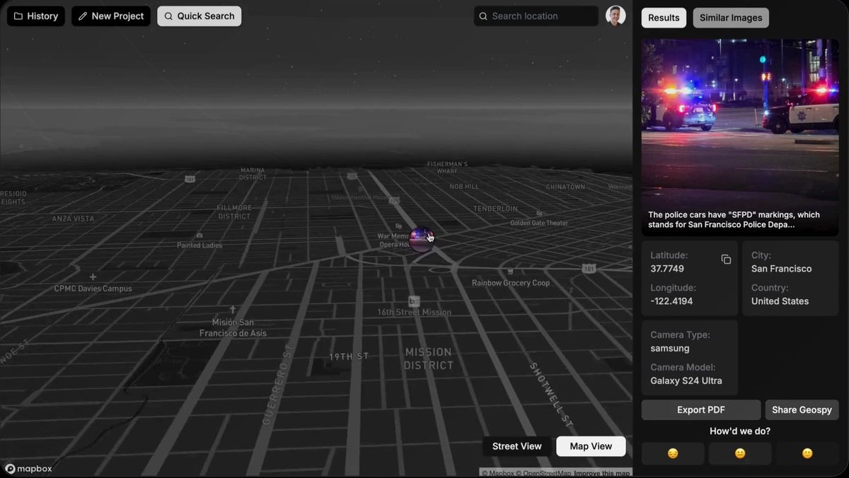
AI Company Lets Cops Pinpoint Specific Houses Based on a Single Interior Photo
Raven, previously called GeoSpy, lets cops figure out what specific Airbnb or Zillow property a photo was taken in.
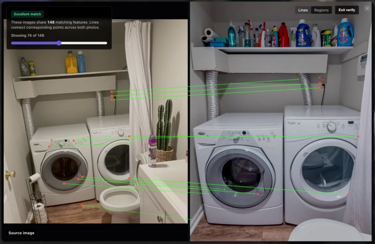
kylemcdonald/lapd-face-search
Contribute to kylemcdonald/lapd-face-search development by creating an account on GitHub.
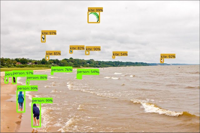
Supercharge your Computer Vision models with the TensorFlow Object Detection API
Posted by Jonathan Huang, Research Scientist and Vivek Rathod, Software Engineer (Cross-posted on the Google Open Source Blog) At Google, we develo...
Google announces Maps screenshot analysis, AI itineraries to help you plan trips
Google wants to help you get away this summer with, you guessed it, AI.

AImages
The HackerNoon AI Image Gallery is powered by human prompts entered into the most cutting edge AI image generation models, like Stable Diffusion, Midjourney, Dall-e, and more
AI Slop Is a Brute Force Attack on the Algorithms That Control Reality
Generative AI spammers are brute forcing the internet, and it is working.

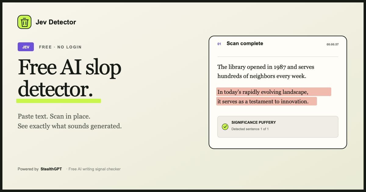
Jev Detector: Free AI Slop Detector
Paste up to 10,000 words and highlight generated-sounding writing. Free and no login.
Victor M on Twitter / X
Hugging Face Spaces, the world's largest AI app directory, is now MCP-compatible 🤯Here turning an entire website into Ghibli in one shot with Claude Code to demonstrate what's now possible: instantly access any A I tool right in your LLM client! pic.twitter.com/isJxweJMyV— Victor M (@victormustar) June 17, 2025

Agentic AI Browser for Deep Search & Automation | Fellou
Browse, automate, and execute — Fellou is the world's first self-driving browser where AI doesn't just chat, it acts. Automate multi-step tasks across websites, analyze data, and get things done while you focus on what matters.
mmann1123/pyGIS
pyGIS is an online textbook covering all the core geospatial functionality available in Python. This includes handling vector and raster data, satellite remote sensing, machine learning and deep learning applications.
google-ai-edge/gallery
A gallery that showcases on-device ML/GenAI use cases and allows people to try and use models locally.
New from 404 Media: Google Earth has introduced an AI feature that lets anyone fabricate completely bullshit satellite images. In our own tests, we added a “bomb blast and crater” to an area of Los Angeles. This is a misinformation time bomb, will 100% be abused 404media.co/google-earths-new-ai-lets-any…

