

Throughout world, the ocean floor’s details remain largely a mystery; less than 10 percent has been mapped using modern sonar technology. Even in the United States, which has some of the best maritime maps in the world, only one-third of the ocean and coastal waters have been mapped to modern standards. Access to content from...
A side selective line simplification algorithm for nautical chart generalization
Depth contours are essential chart features, portraying seabed morphology and delineating the depth areas used by navigation systems to assess route safety and trigger alarms. Their portrayal must ...

Shipmap.org
An incredible visualisation of global shipping traffic, created by Kiln.digital and the UCL Energy Institute.

Interactive Quiz - Canada Ocean Map
The Enshittification of Google Maps
Hi friends, Almost every time I drive down the West Side Highway in New York City, Google Maps tells me to get off at the ship terminal – even though I am...

A Beginner’s Guide to Scientific Roadmapping
Wonderful maps and how to read them
Microsoft reveals findings from Project Natick, its experimental undersea datacenter
Star Citizen Ship Maps
Interactive 3D ship maps for Idris, Perseus, Hammerhead, Reclaimer, Polaris, and Starfarer.

https://aneeshsathe.com/the-viscous-frontier/
In May 1976 a Satawalese master navigator named Mau Piailug stood on the deck of a double-hulled Polynesian canoe in Honolua Bay, Maui, and prepared to sail to Tahiti. Sans compass, chronometer, and chart. The canoe was Hōkūleʻa, a replica of the voyaging craft that had carried Polynesians across the Pacific a thousand years earlier. Over the next thirty-four days Piailug would navigate her about two thousand three hundred nautical miles south-southeast to Papeete using the rising and setting positions of stars, the shape of ocean swells refracted off islands beyond the horizon, the colour of the water at dusk, and the behaviour of terns returning to land at evening.
Houthis seize 2 strategic Red Sea islands, and other Mideast developments
This move strengthens their control over a key maritime shipping route.

Aqua Coast — your coaster log
Log every roller coaster you've ridden — stored in your own AT Protocol PDS.

The invisible seafaring industry that keeps the internet afloat
How one crew risked radiation, storms, and currents to save Japan from digital isolation.

Transport of Legacy Perfluoroalkyl Substances and the Replacement Compound HFPO-DA through the Atlantic Gateway to the Arctic Ocean—Is the Arctic a Sink or a Source?
Abstract. The spatial distribution of 29 per- and polyfluoroalkyl substances (PFASs) in seawater was investigated along a sampling transect from Europe to

AbstractsMachine/qipu-vancouver
From scanned city records to checkable facts on a painted map: extractor, map pipeline and viewer
A cartographer posits that our maps should be messier. “The ...
A cartographer posits that our maps should be messier. “The idea that we must have a crisp line dividing one country from another is often inaccurate when it co
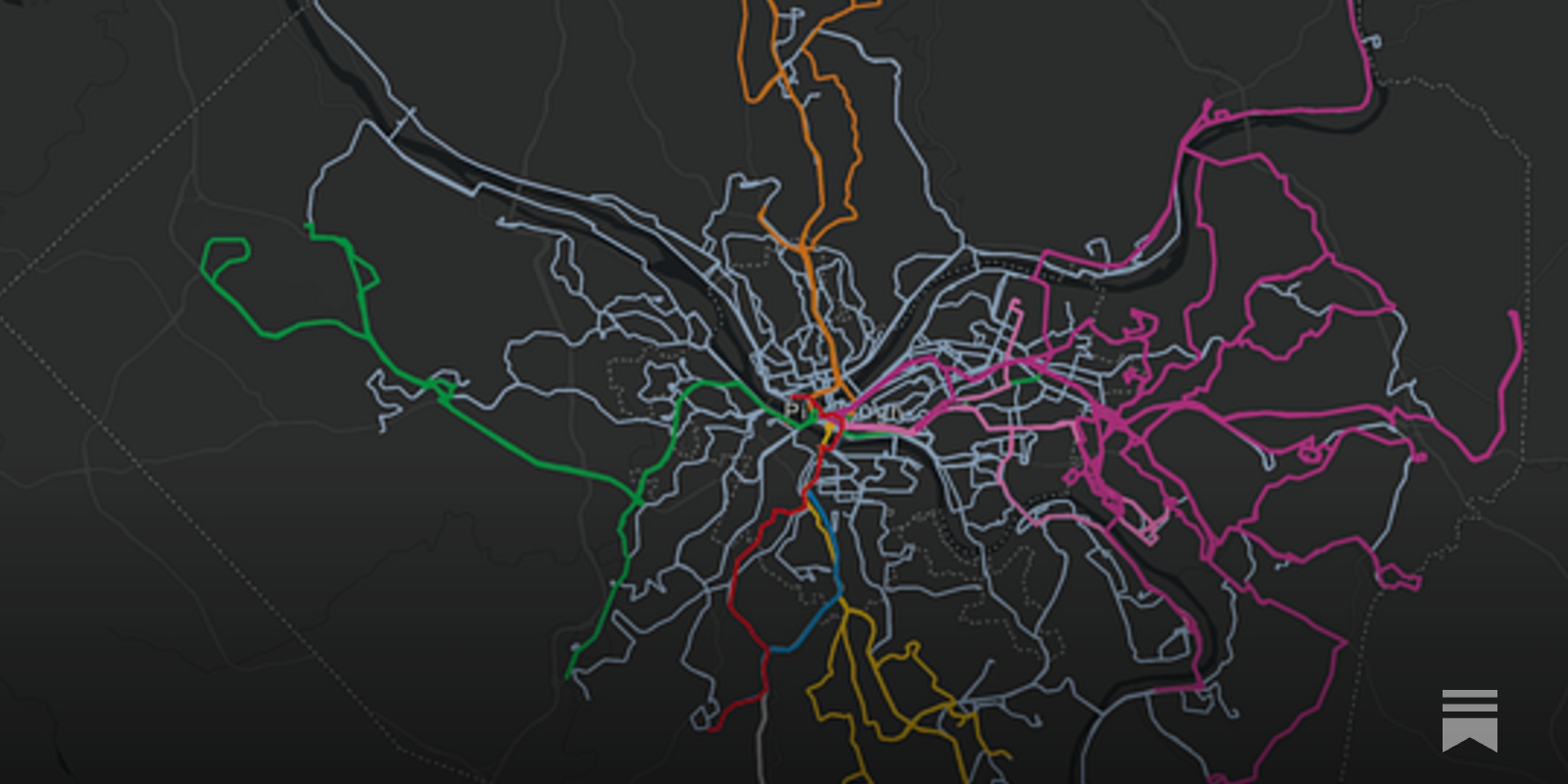
The Real Transit Map
Just because a route is on the map doesn’t mean that it’s useful.