


The easy-to-use getaway to historical maps in libraries around the world.
Little Free Library World Map - Little Free Library
Find Little Free Libraries near you on the world map. Share your location to see little libraries in your area, or search by city, state/province, zip code, or country.

A Beginner’s Guide to Scientific Roadmapping
Wonderful maps and how to read them

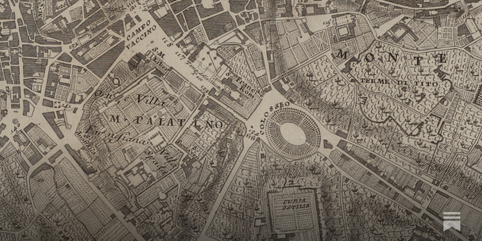
Atlascope Boston
Atlascope Boston is a tool for exploring historic urban atlases in metropolitan Boston and telling stories about how places have changed over time. A project of the Leventhal Map & Education Center at the Boston Public Library.
FacilMap
A fully-featured OpenStreetMap-based map where markers and lines can be added with live collaboration.
Reinventing Explanation
The Babylonian Map of the World is one of the world's oldest extant maps, dating to 600 BCE. It's a crude map, difficult to read at a glance, but fortunately an accompanying cuneiform text describes the features on the map, including Babylon, seven other cities, a canal, and a mountain: Modern maps are, of course, far better than this early map. They improve on it by taking advantage of the many map-making techniques developed since 600 BCE, such as: surveying to get proportions correct; projections to correct for the curvature of the Earth; methods to depict topographic features; and so on. Even ideas such as showing roads and nautical routes were not a priori obvious, but had to be invented.
davidgasquez.com follow map
OpenCampingMap
OpenCampingMap is a map of campgrounds based on data from OpenStreetMap

Good practice - OpenStreetMap Wiki
OpenStreetMap is a free project done by volunteers. Anybody can enter anything they wish. That said, a map works best when participants agree on a code of conduct. These "Good Practices" are guidelines that will increase the quality and value of our map data without any additional effort. Nobody is forced to obey them. There might be cases where these guidelines don't apply or even contradict each other.
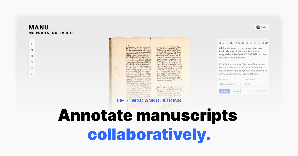
Manu ・ Manuscript Annotation & Visualisation
A collaborative platform for annotating, transcribing, and visualising historical manuscripts. Built on IIIF and W3C Web Annotations.
Transit System Route Map, 1979

Toward Wayfinding Infrastructure for the Living Web · Atlas Research Group
Our world is getting crazier by the day. Our old maps and compasses weren’t made for this complexity. While new tools may open up amazing possibilities, they also make it easier to lose ourselves – especially when they don’t belong to us, and make us vulnerable to other people’s hidden choices and unsavory intentions about what is worth attending to.

i hightly recommend comaps.app as an alternative to big map platforms its an offline-first map app built on open street maps and focused on simplicity and transparency i've tried a lot of them and honestly this is the only one i can stand magicearth.com is an okay alternative too, not OSS
Hike, Bike, Drive Offline – Navigate with Privacy
www.comaps.app
Dan Hon
"There’s no opt-out for getting ads in Maps" 9to5mac.com/2026/04/13/ios-26-5-beta-2-gi…
please this. any community-driven application like this is a good candidate for cutting out the monthly subscription middle man holding the data hostage. open map data in general is needed. I've trying to replace google/apple maps with open alts.

Tom MacWright
i bet 'alltrails' is the next thing to be rebuilt on atproto if it hasn't already


